


4,4 km | 6,8 km-effort
Urdos : Entdecken Sie die besten Touren : 39 zu Fuß. Alle diese Touren, Trails, Routen und Outdoor-Aktivitäten sind in unseren SityTrail-Apps für Smartphones und Tablets verfügbar.

Zu Fuß


• Trail created by Communauté de Communes du Haut-Béarn. Randonnée très facile 1h30 boucle Website: https://umap.op...
Zu Fuß
• Trail created by Parc National des Pyrénées.
Zu Fuß
• Trail created by Parc National des Pyrénées.
Zu Fuß
• Trail created by Parc National des Pyrénées. Website: https://umap.openstreetmap.fr/fr/map/refonte-plan-local-de-r...
Zu Fuß
• Trail created by Parc National des Pyrénées. Website: https://umap.openstreetmap.fr/fr/map/refonte-plan-local-de-r...
Wandern
Wandern
Wandern
Wandern
Wandern
Wandern

Zu Fuß
• Trail created by Parc National des Pyrénées.
Wandern
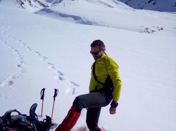
Schneeschuhwandern

Wandern
Andere Aktivitäten
• randonnée montagne
Wandern
Wandern
Wandern
Wandern
20 Angezeigte Touren bei 44
Kostenlosegpshiking-Anwendung
 SityTrail
IGN / Geografische Institute
SityTrail World
Die Welt öffnet sich für Sie