


7,7 km | 11,3 km-effort
Malemort : Entdecken Sie die besten Touren : 21 zu Fuß und 2 mit dem Fahrrad oder Mountainbike. Alle diese Touren, Trails, Routen und Outdoor-Aktivitäten sind in unseren SityTrail-Apps für Smartphones und Tablets verfügbar.

Wandern


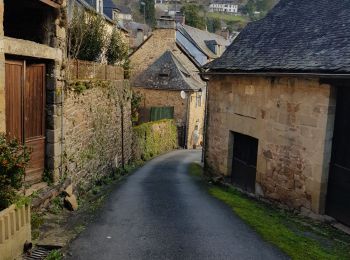
• rando campagnarde

Wandern
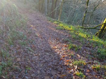
• Parcours agréable le long de la Correze, ombragé.Pas de diffultés majeures. Possibilités d'aller aussi jusqu'a la gar...
Pfad
Wandern
• Venarsal rando des 4 moulins 8 km pas de difficulté particuliere.
Pfad
Pfad
Pfad
Pfad

Pfad
Wandern

Fahrrad
• brive biars
Wandern
Wandern
Wandern
Pfad
Wandern
Wandern
Wandern
Wandern
Wandern
20 Angezeigte Touren bei 23
Kostenlosegpshiking-Anwendung
 SityTrail
IGN / Geografische Institute
SityTrail World
Die Welt öffnet sich für Sie