


8,6 km | 11,1 km-effort
Montoillot : Entdecken Sie die besten Touren : 9 zu Fuß und 3 mit dem Fahrrad oder Mountainbike. Alle diese Touren, Trails, Routen und Outdoor-Aktivitäten sind in unseren SityTrail-Apps für Smartphones und Tablets verfügbar.
Zu Fuß


• Trail created by Côte d'Or Tourisme.
Mountainbike
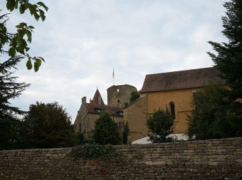
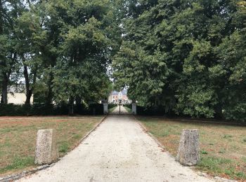
• Départ du village de Montoillot, longer la rigole qui alimente le canal de Bourgogne jusqu' au village de Commarin ou...

Mountainbike
• Départ du village de Montoillot, longer la rigole qui alimente le canal de Bourgogne jusqu' au village de Commarin ou...

Mountainbike

Wandern
Wandern
Wandern
Wandern
Wandern
Wandern
Wandern
Wandern
12 Angezeigte Touren bei 12
Kostenlosegpshiking-Anwendung
 SityTrail
IGN / Geografische Institute
SityTrail World
Die Welt öffnet sich für Sie