


6,4 km | 7,2 km-effort
Nancray : Entdecken Sie die besten Touren : 13 zu Fuß und 7 mit dem Fahrrad oder Mountainbike. Alle diese Touren, Trails, Routen und Outdoor-Aktivitäten sind in unseren SityTrail-Apps für Smartphones und Tablets verfügbar.

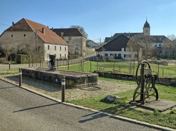
Zu Fuß


• Trail created by Grand Besançon.
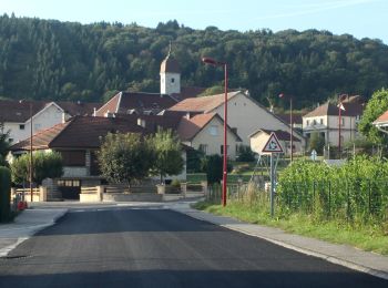
Zu Fuß
• Trail created by Grand Besançon.
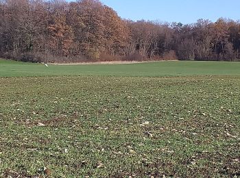
Zu Fuß
• Trail created by Grand Besançon.
Zu Fuß
• Trail created by Grand Besançon.
Wandern

Wandern

Mountainbike

Mountainbike

Mountainbike

Wandern

Mountainbike
• Ce parcours est de niveau très difficile. Départ de Nancray en direction de Gennes dans le sous-bois. Première montée...

Wandern
Wandern
Wandern
Wandern
Wandern
Mountainbike

Nordic Walking
Mountainbike
Mountainbike
20 Angezeigte Touren bei 20
Kostenlosegpshiking-Anwendung
 SityTrail
IGN / Geografische Institute
SityTrail World
Die Welt öffnet sich für Sie