


5,8 km | 8 km-effort
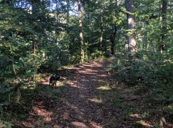
Arfons : Entdecken Sie die besten Touren : 48 zu Fuß, 23 mit dem Fahrrad oder Mountainbike und 10 auf dem Pferderücken. Alle diese Touren, Trails, Routen und Outdoor-Aktivitäten sind in unseren SityTrail-Apps für Smartphones und Tablets verfügbar.
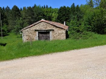
Wandern


Mountainbike
Wandern
Wandern
Wandern
Wandern
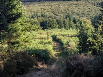
Pfad
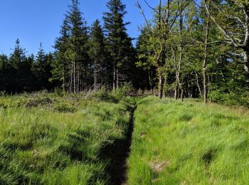
Pfad
Pfad
Pfad
Pfad
Pfad
Pfad

Laufen
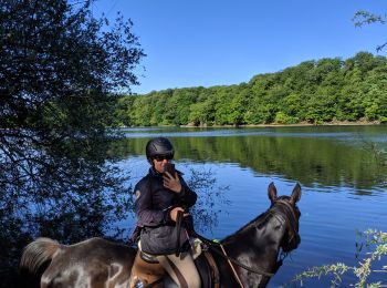
Reiten

Reiten
Reiten
Reiten

Reiten
Andere Aktivitäten
20 Angezeigte Touren bei 84
Kostenlosegpshiking-Anwendung
 SityTrail
IGN / Geografische Institute
SityTrail World
Die Welt öffnet sich für Sie