


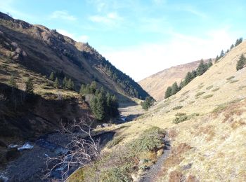
13 km | 22 km-effort
Loudenvielle : Entdecken Sie die besten Touren : 73 zu Fuß und 1 mit dem Fahrrad oder Mountainbike. Alle diese Touren, Trails, Routen und Outdoor-Aktivitäten sind in unseren SityTrail-Apps für Smartphones und Tablets verfügbar.

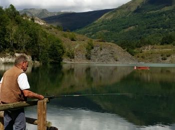
Wandern


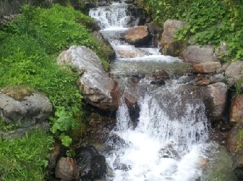
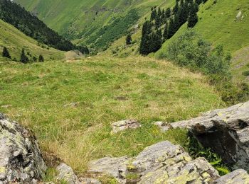
• Superbe randonnée en aller et retour jusqu'au refuge.
Wandern

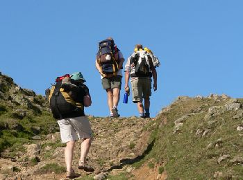
Wandern
Wandern
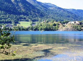
Wandern
Wandern
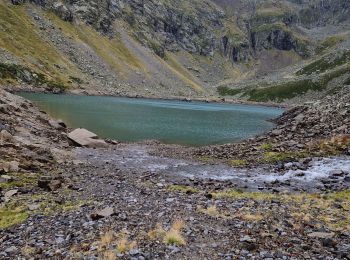
Wandern
Wandern
Wandern
Wandern
Wandern
Wandern
Wandern
Wandern
Wandern
Wandern
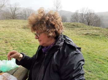
• superbe
Wandern
Wandern
Wandern
Wandern
20 Angezeigte Touren bei 77
Kostenlosegpshiking-Anwendung
 SityTrail
IGN / Geografische Institute
SityTrail World
Die Welt öffnet sich für Sie