


12,7 km | 27 km-effort
Montségur : Entdecken Sie die besten Touren : 40 zu Fuß und 2 mit dem Fahrrad oder Mountainbike. Alle diese Touren, Trails, Routen und Outdoor-Aktivitäten sind in unseren SityTrail-Apps für Smartphones und Tablets verfügbar.
Wandern


Wandern
Wandern
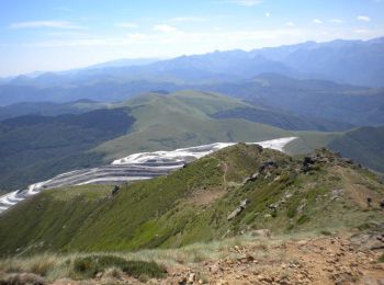
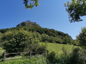
• Grande boucle pour aller à la Frau. Montée par le Lasset et la jasse de Pratmau. Col de la peyre et la Frau. Redescen...
Wandern
Wandern
Andere Aktivitäten
Wandern
Wandern

Mountainbike
Wandern

Wandern
Wandern
Wandern
Wandern
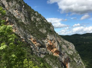
• belle
Wandern
Wandern
Wandern
Wandern
Wandern
Wandern
20 Angezeigte Touren bei 43
Kostenlosegpshiking-Anwendung
 SityTrail
IGN / Geografische Institute
SityTrail World
Die Welt öffnet sich für Sie