


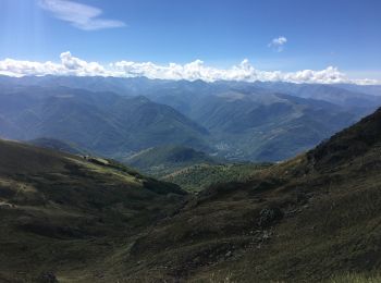
15,3 km | 31 km-effort
Montferrier : Entdecken Sie die besten Touren : 39 zu Fuß, 4 mit dem Fahrrad oder Mountainbike und 2 auf dem Pferderücken. Alle diese Touren, Trails, Routen und Outdoor-Aktivitäten sind in unseren SityTrail-Apps für Smartphones und Tablets verfügbar.
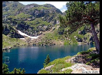
Wandern


Wandern
Wandern
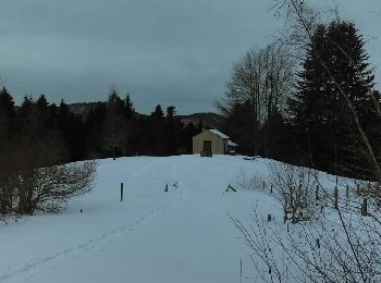
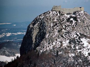
Schneeschuhwandern
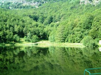
• Belle rando en grande partie dans les bois. Le retour est en "hors piste" pour éviter de prendre le chemin de montée....

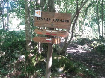
Wandern
Wandern
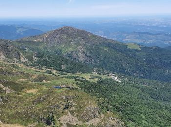
Wandern

Wandern

Mountainbike

Mountainbike

Mountainbike
• Très beau VTT de Montagne. Une magnifique descente de 1000m d'un seul tenant.Une montée consistante dans laquelle il ...
Wandern
Wandern
Pferd
Pferd
Wandern
Wandern
Wandern
Wandern

Laufen
20 Angezeigte Touren bei 51
Kostenlosegpshiking-Anwendung
 SityTrail
IGN / Geografische Institute
SityTrail World
Die Welt öffnet sich für Sie