


11,7 km | 21 km-effort
Mayrègne : Entdecken Sie die besten Touren : 9 zu Fuß. Alle diese Touren, Trails, Routen und Outdoor-Aktivitäten sind in unseren SityTrail-Apps für Smartphones und Tablets verfügbar.
Wandern


Wandern
Wandern
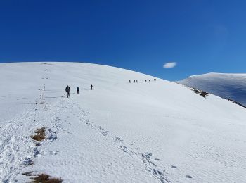
Schneeschuhwandern

Wandern
Wandern
Wandern
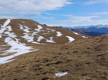
• Une belle randonnée réalisée presque entièrement à découvert, avec un long et magnifique parcours de crête.A savourer...
Wandern
• Une belle randonnée réalisée presque entièrement à découvert, avec un long et magnifique parcours de crête.A savourer...

Schneeschuhwandern
Wandern
Wandern
11 Angezeigte Touren bei 11
Kostenlosegpshiking-Anwendung
 SityTrail
IGN / Geografische Institute
SityTrail World
Die Welt öffnet sich für Sie