


13,2 km | 23 km-effort
Herran : Entdecken Sie die besten Touren : 13 zu Fuß und 1 mit dem Fahrrad oder Mountainbike. Alle diese Touren, Trails, Routen und Outdoor-Aktivitäten sind in unseren SityTrail-Apps für Smartphones und Tablets verfügbar.
Wandern


Wandern

Mountainbike

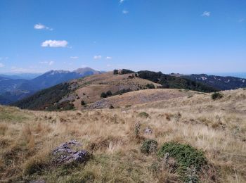
Wandern

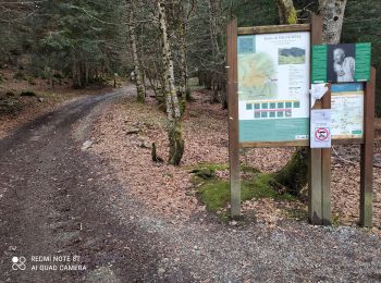
Wandern
Wandern

Wandern

Andere Aktivitäten

Schneeschuhwandern

Laufen
• Réalisé le 03/12/2016.
Wandern
Schneeschuhwandern
Laufen

 10.342
sport
7.888
sport
Wandern
Wandern
Wandern
Wandern
19 Angezeigte Touren bei 19
Kostenlosegpshiking-Anwendung
 SityTrail
IGN / Geografische Institute
SityTrail World
Die Welt öffnet sich für Sie