


15,5 km | 21 km-effort
Aurignac : Entdecken Sie die besten Touren : 13 zu Fuß. Alle diese Touren, Trails, Routen und Outdoor-Aktivitäten sind in unseren SityTrail-Apps für Smartphones und Tablets verfügbar.

Wandern


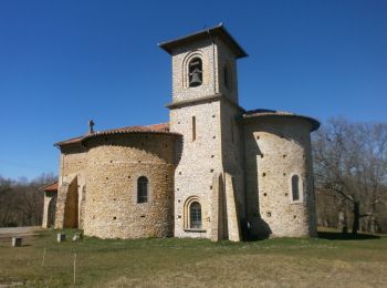
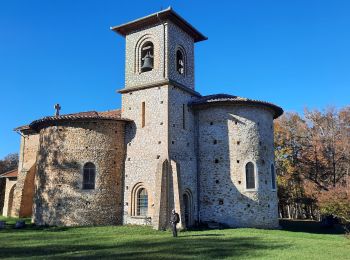
• bois d'Aurignac et Louge; bois et vallée
Wandern
Wandern
Wandern
Wandern
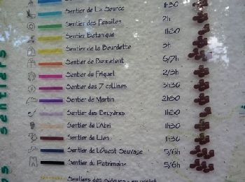
• Ce parcours consiste à tourner autour d'Aurignac par les 7 collines qui l'entourent. Il emprunte des tronçons d'autre...
Wandern
Wandern
Wandern
• Circuit de la Ligne Verte sur les Terres d'Aurignac avec un parcours permettant de découvrir les 19 communes du terri...
Wandern
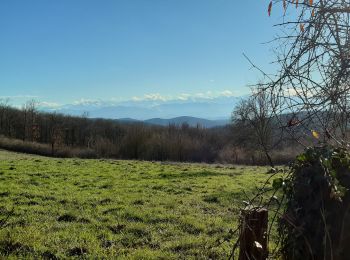
• Forêt et champs
Wandern
Wandern
Wandern
Wandern
13 Angezeigte Touren bei 13
Kostenlosegpshiking-Anwendung
 SityTrail
IGN / Geografische Institute
SityTrail World
Die Welt öffnet sich für Sie