


14 km | 16,9 km-effort
Sommières : Entdecken Sie die besten Touren : 46 zu Fuß und 24 mit dem Fahrrad oder Mountainbike. Alle diese Touren, Trails, Routen und Outdoor-Aktivitäten sind in unseren SityTrail-Apps für Smartphones und Tablets verfügbar.

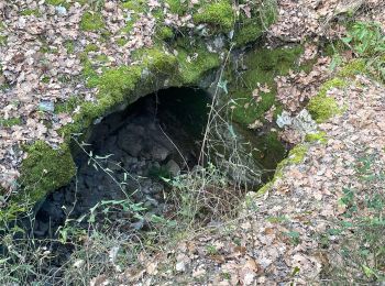
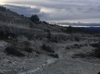
Wandern


Wandern
Wandern
Wandern
Wandern
Wandern
Wandern

Fahrrad
Wandern
Rennrad
Rennrad
Wandern
Wandern
Wandern
Wandern
Wandern
Fahrrad
Wandern
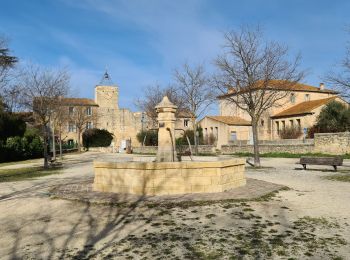
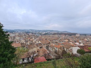
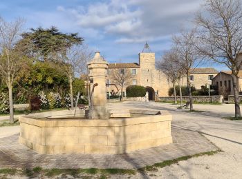
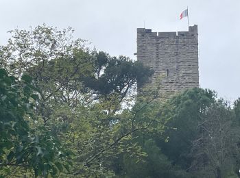
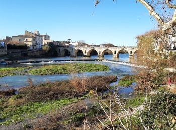
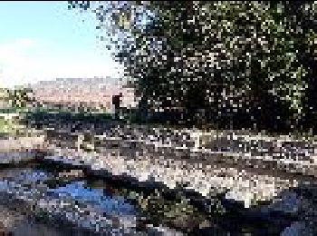
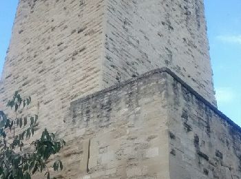
• Centre médiéval construit en damiers, le long du Vidourle aux crues redoutables en cas d'orage (2002). Rues étroites ...
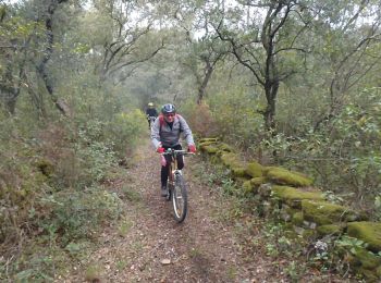
Mountainbike
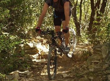
Mountainbike
20 Angezeigte Touren bei 76
Kostenlosegpshiking-Anwendung
 SityTrail
IGN / Geografische Institute
SityTrail World
Die Welt öffnet sich für Sie