


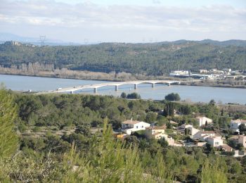
17,7 km | 23 km-effort
Aramon : Entdecken Sie die besten Touren : 46 zu Fuß, 5 mit dem Fahrrad oder Mountainbike und 1 auf dem Pferderücken. Alle diese Touren, Trails, Routen und Outdoor-Aktivitäten sind in unseren SityTrail-Apps für Smartphones und Tablets verfügbar.
Wandern


Wandern
Wandern
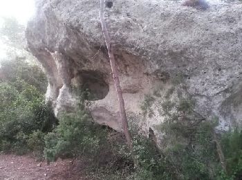
• Avec Claude P.
Wandern
Wandern
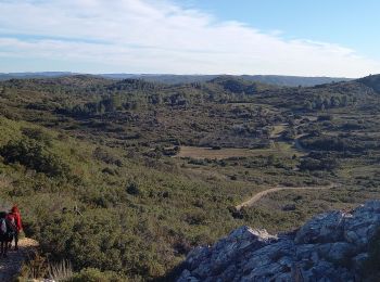
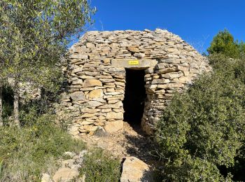
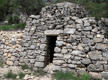
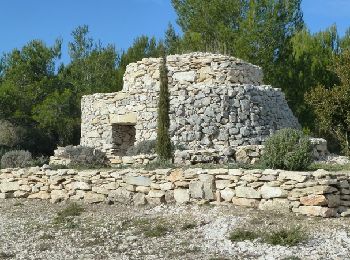
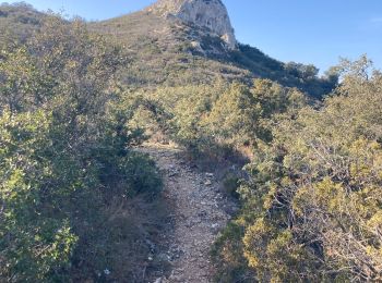
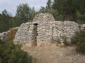
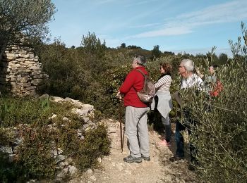
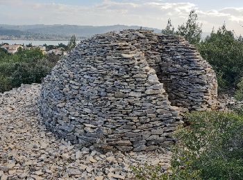
• départ: Aramon (30) parking en haut du chemin ste Suzanne Belle rando avec de nombreuses capitelles abri construit ...
Wandern
Wandern
Wandern
Wandern
Wandern
Wandern
Wandern
Wandern
• Bruno

Wandern

Rennrad
Wandern

Kutsche fahren
Mountainbike
• 35km
Wandern
Mountainbike
• 30km sur de bons singles et pistes, ludique et technique, ravitos copieux
20 Angezeigte Touren bei 53
Kostenlosegpshiking-Anwendung
 SityTrail
IGN / Geografische Institute
SityTrail World
Die Welt öffnet sich für Sie