


68 km | 118 km-effort
Corsavy : Entdecken Sie die besten Touren : 40 zu Fuß und 4 mit dem Fahrrad oder Mountainbike. Alle diese Touren, Trails, Routen und Outdoor-Aktivitäten sind in unseren SityTrail-Apps für Smartphones und Tablets verfügbar.

Wandern


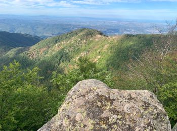
Wandern
Wandern
Wandern
Wandern
Wandern
Wandern
• 14 juin 2016
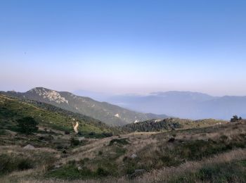
Wandern
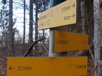
• Aller retour pic de Gallinasse. Fort dénivelé en début de parcours
Wandern
Wandern
Mountainbike
Mountainbike
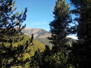
Wandern
Wandern
Wandern
Wandern
Wandern
Wandern
Wandern
Wandern
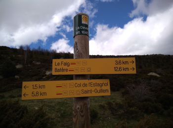
• Randonnée avec le GR10 à travers les Pyrénées-Orientales de Batère à Banyuls-sur-Mer. Batère (Corsavy): Gîte d'étape ...
20 Angezeigte Touren bei 46
Kostenlosegpshiking-Anwendung
 SityTrail
IGN / Geografische Institute
SityTrail World
Die Welt öffnet sich für Sie