


7,8 km | 17,6 km-effort
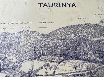
Taurinya : Entdecken Sie die besten Touren : 72 zu Fuß und 2 mit dem Fahrrad oder Mountainbike. Alle diese Touren, Trails, Routen und Outdoor-Aktivitäten sind in unseren SityTrail-Apps für Smartphones und Tablets verfügbar.
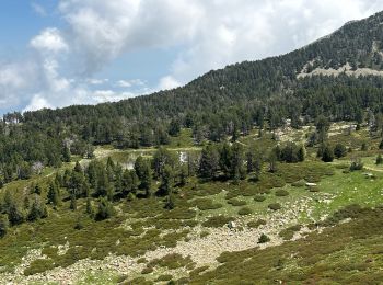
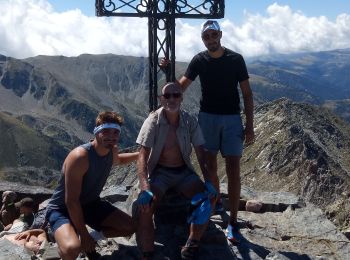
Wandern


Wandern
Wandern
Wandern
Wandern
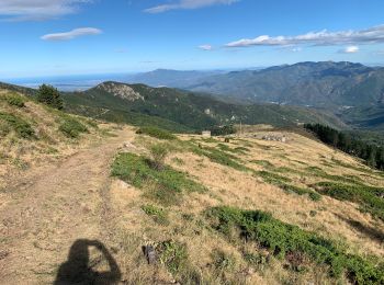
Wandern
Wandern
Wandern
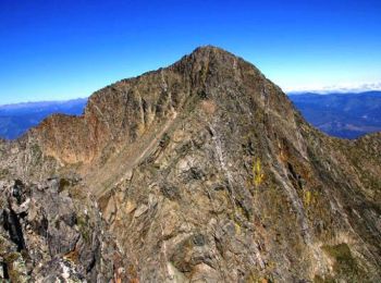
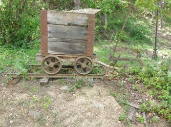
• Passage par les mines de fer
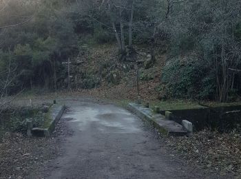
Wandern
 8.433
8.433
sport
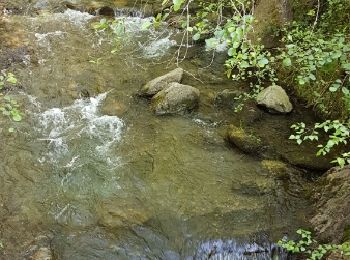
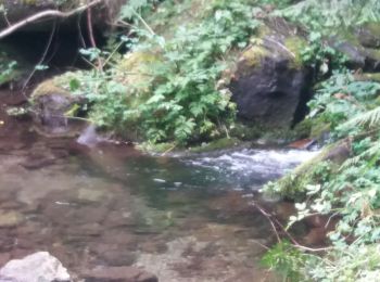
Wandern
Wandern

Wandern
Wandern
Wandern
Mountainbike

Wandern
Wandern
 10.01
10.01
sport
10.181
sport
20 Angezeigte Touren bei 83
Kostenlosegpshiking-Anwendung
 SityTrail
IGN / Geografische Institute
SityTrail World
Die Welt öffnet sich für Sie