


19,4 km | 25 km-effort
Cajarc : Entdecken Sie die besten Touren : 23 zu Fuß und 11 mit dem Fahrrad oder Mountainbike. Alle diese Touren, Trails, Routen und Outdoor-Aktivitäten sind in unseren SityTrail-Apps für Smartphones und Tablets verfügbar.
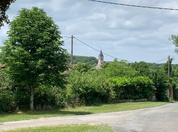
Wandern


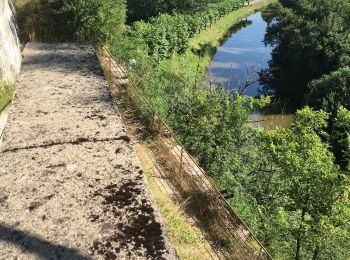
Wandern
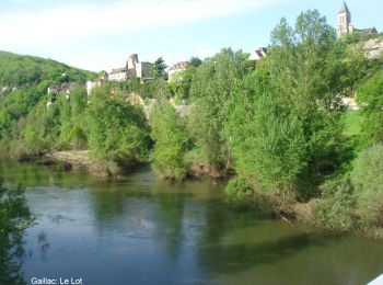
Wandern
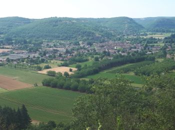
Wandern
Wandern

Wandern

Mountainbike
Wandern
Wandern
Wandern
Wandern
• Chemin de Compostelle en 2013 : Cajarc -> Moissac
Wandern
• Cajarc -> Limogne
Mountainbike
Wandern
Wandern

Zu Fuß
Rennrad
Fahrrad
Mountainbike
Zu Fuß
20 Angezeigte Touren bei 34
Kostenlosegpshiking-Anwendung
 SityTrail
IGN / Geografische Institute
SityTrail World
Die Welt öffnet sich für Sie