


9,7 km | 11,8 km-effort
Limogne-en-Quercy : Entdecken Sie die besten Touren : 27 zu Fuß, 5 mit dem Fahrrad oder Mountainbike und 1 auf dem Pferderücken. Alle diese Touren, Trails, Routen und Outdoor-Aktivitäten sind in unseren SityTrail-Apps für Smartphones und Tablets verfügbar.
Wandern


Mountainbike
Wandern
Wandern
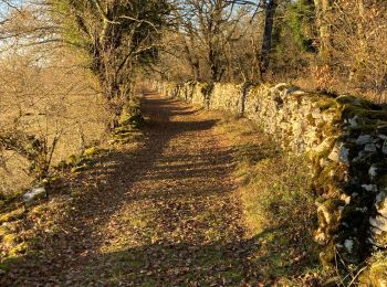
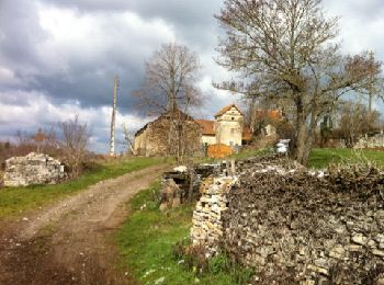
• Vers Lugagnac
Wandern
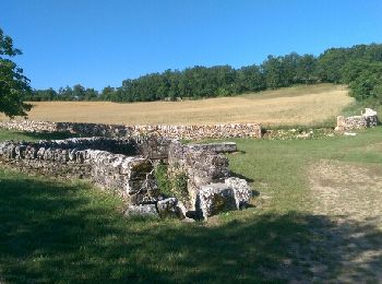
• Mas de Palat.
Wandern
Wandern
Wandern
•
Wandern
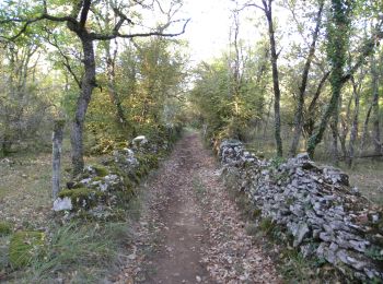
• Sur la route de Lugagnac.

Wandern
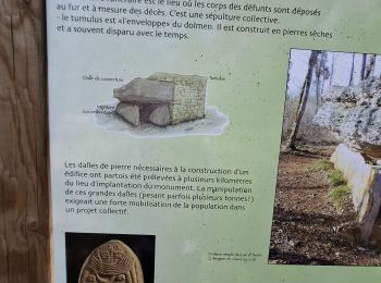
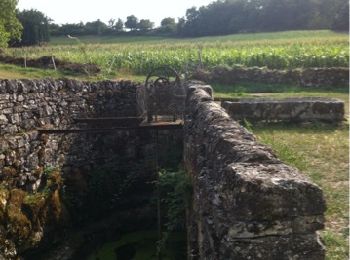
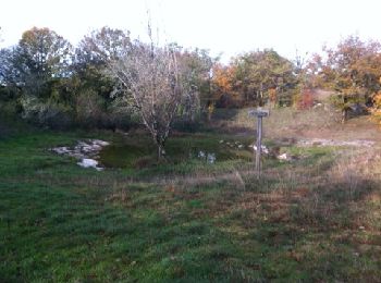
• La fontaine de Malecargue avec sa pompe à chapelet a dans un passé récent assuré la survie des troupeaux grâce à son ...

Zu Fuß
Wandern
• Chemin de St Jacques de Compostelle Limogne -> Escamps
Andere Aktivitäten
Wandern
•
Nordic Walking
Wandern
Wandern
Wandern
Wandern

Mountainbike
20 Angezeigte Touren bei 36
Kostenlosegpshiking-Anwendung
 SityTrail
IGN / Geografische Institute
SityTrail World
Die Welt öffnet sich für Sie