


4,4 km | 7,1 km-effort
Isola : Entdecken Sie die besten Touren : 103 zu Fuß und 1 auf dem Pferderücken. Alle diese Touren, Trails, Routen und Outdoor-Aktivitäten sind in unseren SityTrail-Apps für Smartphones und Tablets verfügbar.
Wandern


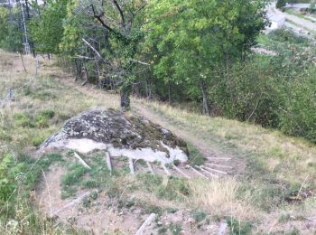
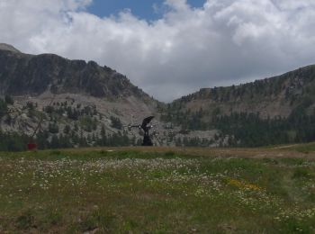
• Belle balade agréable à Isola village pour découvrir et apprendre beaucoup de choses sur la châtaigneraie
Andere Aktivitäten
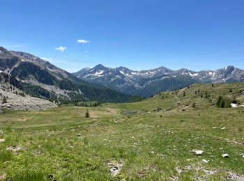
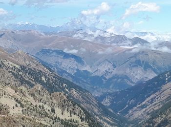
Wandern
Zu Fuß
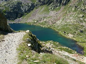
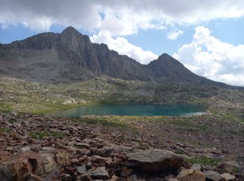
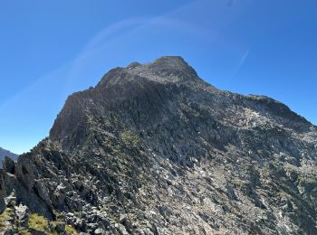
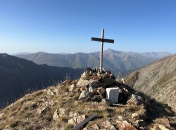
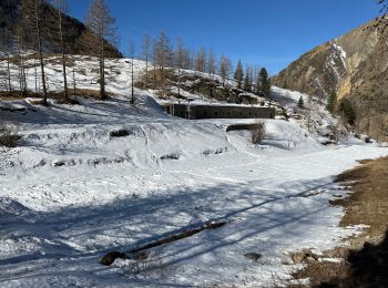
• Randonnée pédestre - Haut pays : Au départ d’Isola 2000, front de neige (2 016 m) Website: https://randoxygene.depar...

Wandern
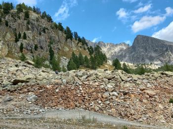
• Détours a cause de névés. Temps de pause non décomptés.
 9.316
9.316
sport
Wandern
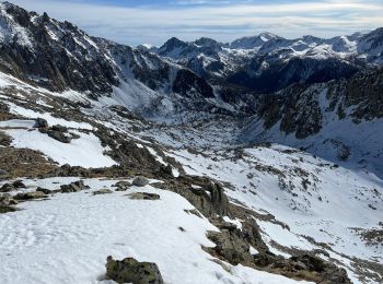
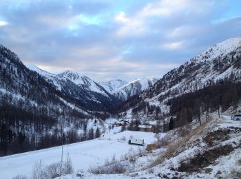
Schneeschuhwandern
Wandern
Wandern
Wandern
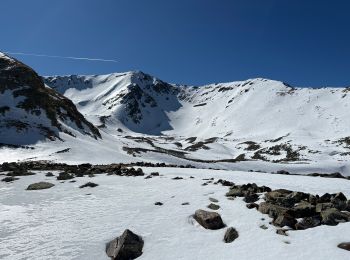
Schneeschuhwandern

Wandern
Wandern
Wandern
Wandern
Wandern
Wandern
Wandern
Wandern
20 Angezeigte Touren bei 151
Kostenlosegpshiking-Anwendung
 SityTrail
IGN / Geografische Institute
SityTrail World
Die Welt öffnet sich für Sie