


5,9 km | 8,9 km-effort
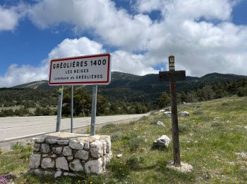
Gréolières : Entdecken Sie die besten Touren : 100 zu Fuß und 8 mit dem Fahrrad oder Mountainbike. Alle diese Touren, Trails, Routen und Outdoor-Aktivitäten sind in unseren SityTrail-Apps für Smartphones und Tablets verfügbar.
Zu Fuß


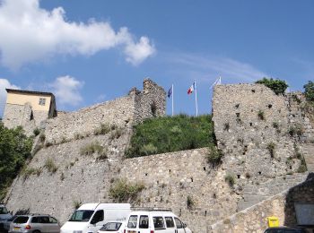
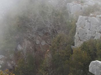
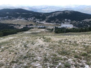
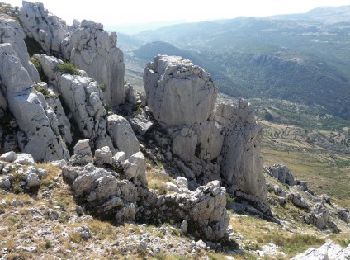
• Randonnée pédestre - Au départ de Gréolières (830 m) Website: https://randoxygene.departement06.fr/siagne-loup/cime-...
Zu Fuß
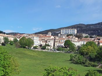
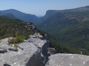
• Randonnée pédestre - Au départ de Gréolières, hameau de Saint-Pons (780 m) Website: https://randoxygene.departement0...
Zu Fuß
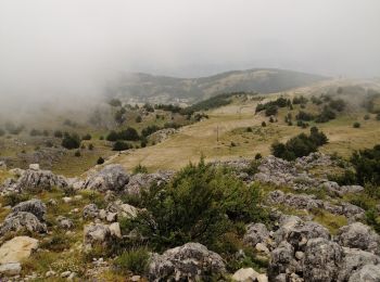
• Randonnée pédestre - Au départ de Gréolières, hameau de Saint-Pons (780 m) Website: https://randoxygene.departement0...
Wandern
Wandern
Wandern
Wandern
Wandern
Wandern
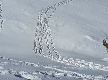
Schneeschuhwandern
Wandern
Wandern
Zu Fuß
Wandern
Wandern
Wandern

Wandern
Laufen
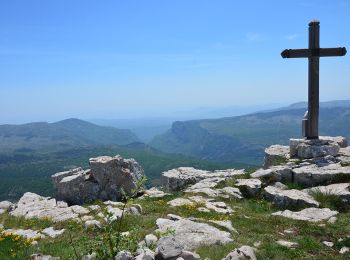
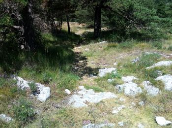
• Très beau parcours sous 30°.Des paysages sublimes à perte de vue. En manque d'eau la fin fut très difficile, marche o...
Wandern
 8.3
8.3
sport
20 Angezeigte Touren bei 137
Kostenlosegpshiking-Anwendung
 SityTrail
IGN / Geografische Institute
SityTrail World
Die Welt öffnet sich für Sie