


21 km | 31 km-effort
Cipières : Entdecken Sie die besten Touren : 42 zu Fuß. Alle diese Touren, Trails, Routen und Outdoor-Aktivitäten sind in unseren SityTrail-Apps für Smartphones und Tablets verfügbar.
Wandern


Zu Fuß
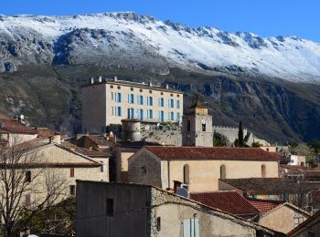
• Randonnée pédestre - Au départ de Gourdon, Pont du Loup (188 m) Website: https://randoxygene.departement06.fr/traver...
Zu Fuß
• Randonnée pédestre - Au départ de Gourdon, Pont du Loup (188 m) Website: https://randoxygene.departement06.fr/traver...
Zu Fuß
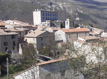
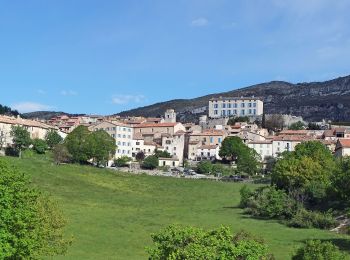
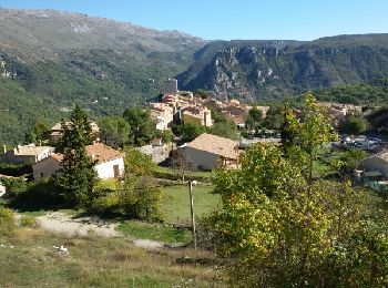
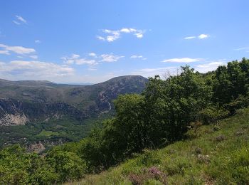
• Randonnée pédestre - Au départ de Cipières (750 m) Website: https://randoxygene.departement06.fr/siagne-loup/plateau...
Wandern
Wandern
Zu Fuß
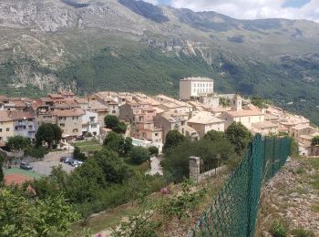
• Randonnée pédestre - Au départ de Cipières (750 m) Website: https://randoxygene.departement06.fr/siagne-loup/collet-...
Wandern
Wandern
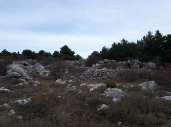
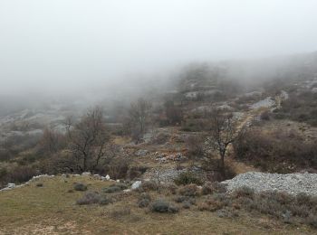
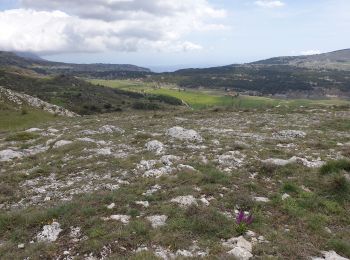
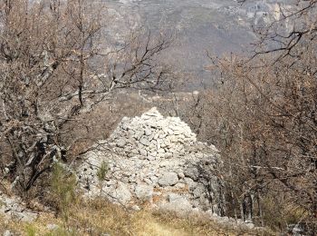
• Très beau plateau karstique. Restanques, Boris nombreuses bergeries
Wandern
Wandern
Wandern

Zu Fuß
Wandern

Wandern
Wandern
Wandern
Wandern
Wandern

Wandern
• circuit
20 Angezeigte Touren bei 44
Kostenlosegpshiking-Anwendung
 SityTrail
IGN / Geografische Institute
SityTrail World
Die Welt öffnet sich für Sie