


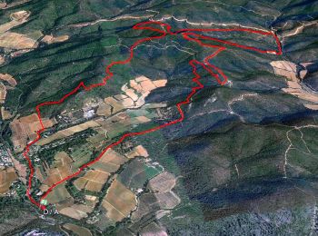
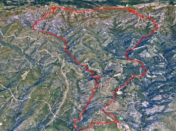
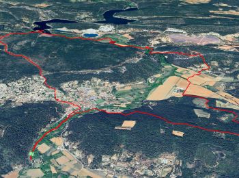
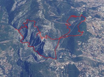
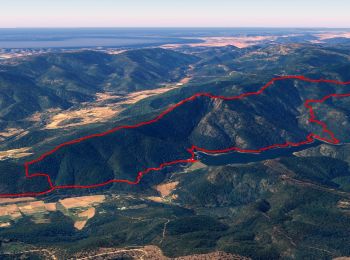
89 km | 126 km-effort
Provence-Alpes-Côte d'Azur : Entdecken Sie die besten Touren : 46.784 zu Fuß, 8.087 mit dem Fahrrad oder Mountainbike und 444 auf dem Pferderücken. Alle diese Touren, Trails, Routen und Outdoor-Aktivitäten sind in unseren SityTrail-Apps für Smartphones und Tablets verfügbar.

Wandern


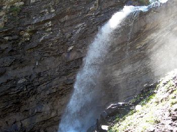
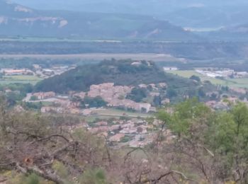
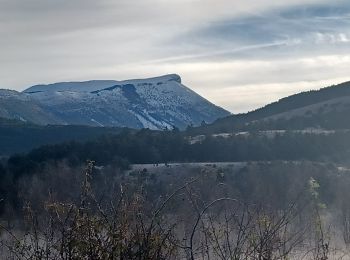
• Gorge du Verdon
Wandern
Wandern
Wandern
Wandern
Wandern
Wandern
Wandern
• 30-11-16 Rando GR1 dont l'objectif est la découverte du lac Redon, une mare temporaire comme il en existe peu en Médi...
Wandern
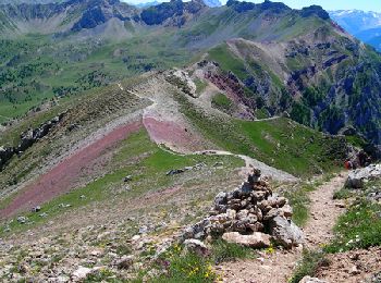
• En suivant le mythique tracé du « decauville », on atteint la crête des Maures à la rencontre de panoramas grandiose...
Wandern
• Dolmen de Gautaby
Wandern
• Parking chemin des Gages Allauch
Wandern
Zu Fuß
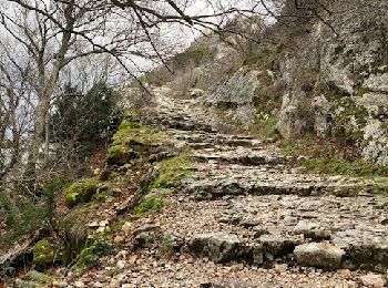
• 3 bonnes montées 1 passage sur corniche sous les falaises (cordes en place pour se tenir) Multiples points d'intérêts...
Wandern
Wandern
• Cuves du Destel et plusieurs grottes. Très glissant par temps pluvieux. A éviter.

Wandern

Wandern
• Malgré son apparence aujourd'hui déserte la forêt du massif des Maures recèle de nombreux vestiges d'une occupation a...
Wandern
• Une seule vraie difficulté, lors de la montée du départ, le passage dans la zone rocheuse en crête. Chemin non balisé...
Wandern
Wandern
20 Angezeigte Touren bei 60511
Kostenlosegpshiking-Anwendung
 SityTrail
IGN / Geografische Institute
SityTrail World
Die Welt öffnet sich für Sie