


7,8 km | 10,1 km-effort
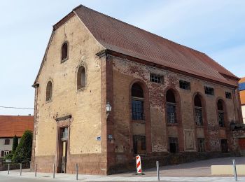
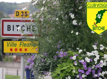
Bitsch : Entdecken Sie die besten Touren : 25 zu Fuß, 8 mit dem Fahrrad oder Mountainbike und 6 auf dem Pferderücken. Alle diese Touren, Trails, Routen und Outdoor-Aktivitäten sind in unseren SityTrail-Apps für Smartphones und Tablets verfügbar.
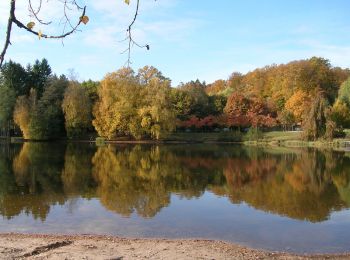
Wandern


Wandern
Wandern
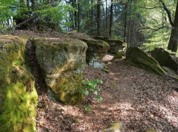
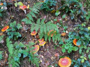
Zu Fuß
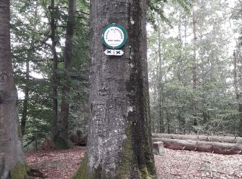
• Trail created by Club vosgien Bitche. Symbol: yellow triangle Website: https://ignrando.fr/fr/parcours/28495-3713e...
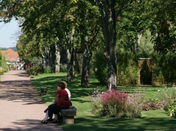
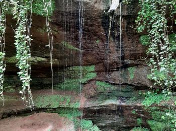
Zu Fuß
• Trail created by Club vosgien Bitche. Symbol: blue dot Website: https://ignrando.fr/fr/parcours/27688-3713et-bitch...
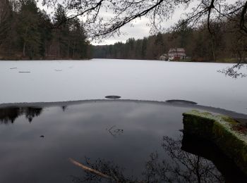
Zu Fuß
• Trail created by Club Vosgien. Symbol: white strip on top of yellow rectangle
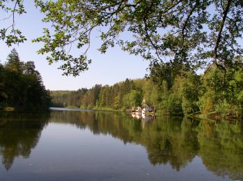
Zu Fuß
• Trail created by Club vosgien Bitche. Formerly marked by a yellow dot from the Loechersbach Pond to Lemberg. Symbol...
Zu Fuß
• Trail created by Club vosgien Bitche. Formerly marked by a vertical blue rectangle. Symbol: green x Website: http...
Zu Fuß
• Trail created by Club vosgien Bitche. Symbol: green circle with white dot in the middle Website: https://ignrando....
Wandern
Wandern
Wandern
Reiten
Wandern

Reiten
Reiten

Wandern

Wandern
Nordic Walking

Mountainbike
20 Angezeigte Touren bei 40
Kostenlosegpshiking-Anwendung
 SityTrail
IGN / Geografische Institute
SityTrail World
Die Welt öffnet sich für Sie