


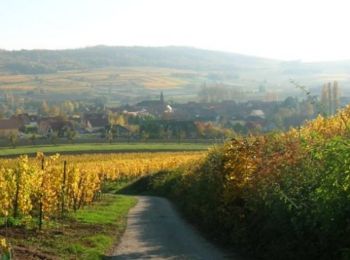
14,8 km | 17 km-effort
Molsheim : Entdecken Sie die besten Touren : 21 zu Fuß, 19 mit dem Fahrrad oder Mountainbike und 4 auf dem Pferderücken. Alle diese Touren, Trails, Routen und Outdoor-Aktivitäten sind in unseren SityTrail-Apps für Smartphones und Tablets verfügbar.
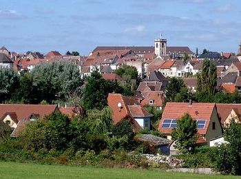
Wandern


Wandern
Rennrad
Wandern
Reiten
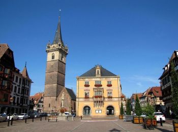
Wandern
Reiten
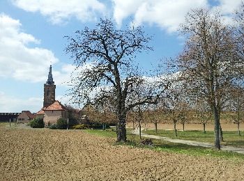
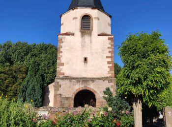
• Balade au départ de la chapelle du Dompeter à Avolsheim, avec passage aux haltes équestre du Kaltbrunn et du Holtzbru...
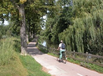
Fahrrad

Fahrrad
Wandern
Fahrrad
Fahrrad
Wandern
Fahrrad
Fahrrad

Fahrrad

Fahrrad
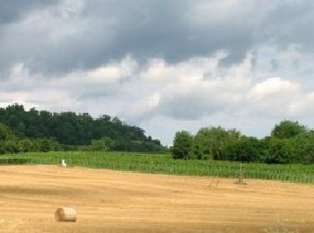
Mountainbike

Wandern
Wandern
20 Angezeigte Touren bei 46
Kostenlosegpshiking-Anwendung
 SityTrail
IGN / Geografische Institute
SityTrail World
Die Welt öffnet sich für Sie