


3,6 km | 4,6 km-effort
Sankt Johann bei Zabern : Entdecken Sie die besten Touren : 11 zu Fuß. Alle diese Touren, Trails, Routen und Outdoor-Aktivitäten sind in unseren SityTrail-Apps für Smartphones und Tablets verfügbar.

Zu Fuß


• Trail created by Club Vosgien.
Zu Fuß
• Trail created by Club Vosgien.
Zu Fuß
• Trail created by Club Vosgien.

Zu Fuß
• Trail created by Club Vosgien.
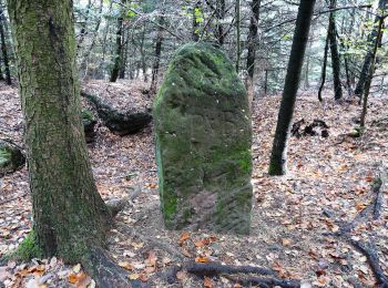
Wandern
• départ de la chapelle st-michel, avec en contre bas le grotte des sorcières. passage par le rocher des dames surplomb...

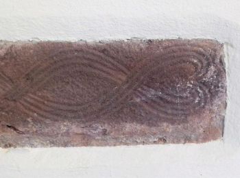
Wandern
Andere Aktivitäten

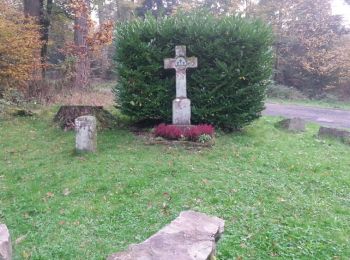
Wandern
Wandern
• Suivre le rond bleu du club vosgien à partir du parking de la croix de Langenthal

 21.757
sport
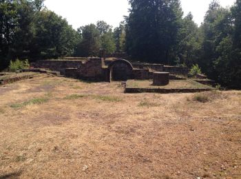
Wandern

Andere Aktivitäten
Wandern
Andere Aktivitäten
Wandern
15 Angezeigte Touren bei 15
Kostenlosegpshiking-Anwendung
 SityTrail
IGN / Geografische Institute
SityTrail World
Die Welt öffnet sich für Sie