


22 km | 28 km-effort
Thonon-les-Bains : Entdecken Sie die besten Touren : 25 zu Fuß und 23 mit dem Fahrrad oder Mountainbike. Alle diese Touren, Trails, Routen und Outdoor-Aktivitäten sind in unseren SityTrail-Apps für Smartphones und Tablets verfügbar.
Wandern


Zu Fuß
Motorrad
Fahrrad
• ballade I
Wandern

Fahrrad
• Pour une mise en jambe

Laufen

Elektrofahrrad

Rudern
Rennrad
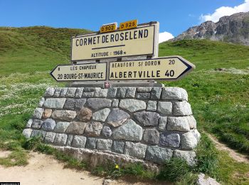
• Les cols du jour - Col de Jambaz, 1027 m - Col de la Colombière, 1613 m Les moments forts : - Une mise en jambe sur...
Fahrrad
• Départ de Thonon-les-Bains.
Mountainbike
Mountainbike
Fahrrad

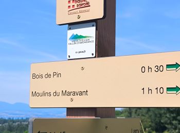
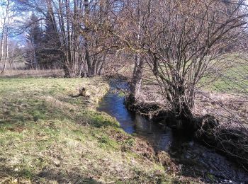
Wandern
Wandern
Wandern
Wandern
• More information on GPStracks.nl : http://www.gpstracks.nl
Wandern
Fahrrad
• http://skivacances.free.fr/roc_d_enfer.htm
20 Angezeigte Touren bei 58
Kostenlosegpshiking-Anwendung
 SityTrail
IGN / Geografische Institute
SityTrail World
Die Welt öffnet sich für Sie