


49 km | 74 km-effort
Villard-sur-Doron : Entdecken Sie die besten Touren : 56 zu Fuß und 13 mit dem Fahrrad oder Mountainbike. Alle diese Touren, Trails, Routen und Outdoor-Aktivitäten sind in unseren SityTrail-Apps für Smartphones und Tablets verfügbar.
Fahrrad


• Grande boucle assez difficile. Beaucoup de montées et aussi beaucoup de descentes…

Mountainbike
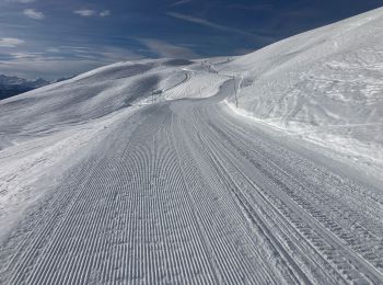
• Descente enduro de Bizane vers Albertville

Wandern
Wandern
Wandern
Wandern

Wandern

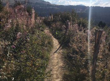
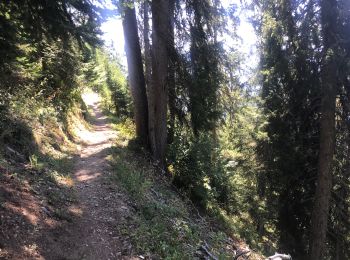
Pfad

Pfad
Pfad
Wandern
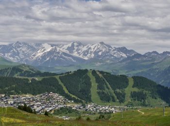
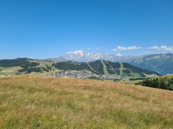
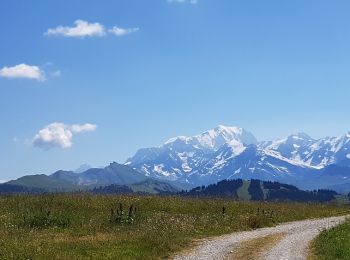
• Les SAISIES 2023-07-07
Wandern
Wandern

Wandern
Wandern
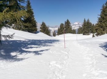
Schneeschuhwandern
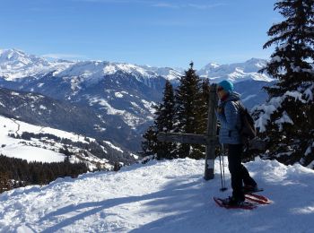
Schneeschuhwandern
Schneeschuhwandern
Mountainbike
• Enduro Saisies
Wandern
20 Angezeigte Touren bei 89
Kostenlosegpshiking-Anwendung
 SityTrail
IGN / Geografische Institute
SityTrail World
Die Welt öffnet sich für Sie