


9,6 km | 24 km-effort
Entremont-le-Vieux : Entdecken Sie die besten Touren : 140 zu Fuß, 1 mit dem Fahrrad oder Mountainbike und 1 auf dem Pferderücken. Alle diese Touren, Trails, Routen und Outdoor-Aktivitäten sind in unseren SityTrail-Apps für Smartphones und Tablets verfügbar.
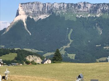
Wandern


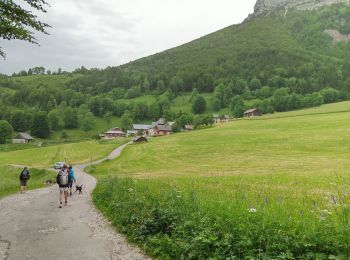
Wandern
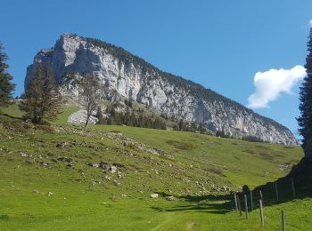
Wandern
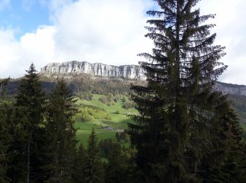
Wandern

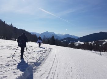
Schneeschuhwandern
Wandern
Wandern

Wandern
Wandern

Wandern
Wandern
Wandern
Wandern
Wandern
Wandern
Wandern

Wandern

Wandern

Wandern
Wandern
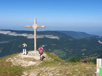
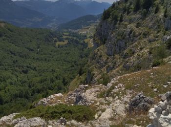
• Il serait préférable de faire le circuit dans l'autre sens car la descente du pas de Fontanieu est raide avec pierrie...
20 Angezeigte Touren bei 181
Kostenlosegpshiking-Anwendung
 SityTrail
IGN / Geografische Institute
SityTrail World
Die Welt öffnet sich für Sie