


13,8 km | 33 km-effort
La Léchère : Entdecken Sie die besten Touren : 94 zu Fuß und 12 mit dem Fahrrad oder Mountainbike. Alle diese Touren, Trails, Routen und Outdoor-Aktivitäten sind in unseren SityTrail-Apps für Smartphones und Tablets verfügbar.
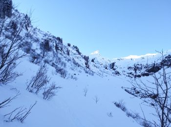
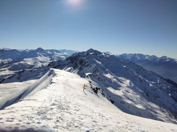
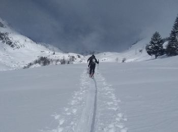
Skiwanderen


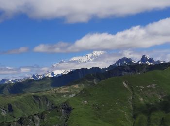
Wandern
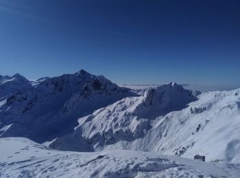
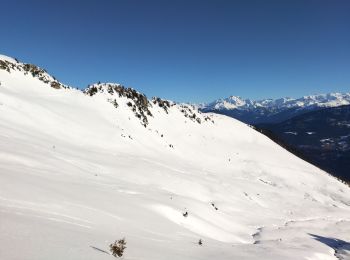
Skiwanderen
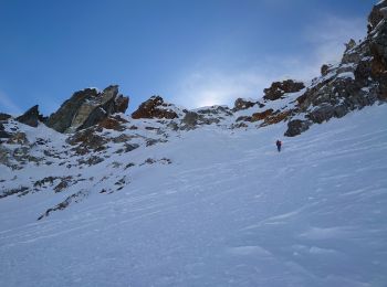
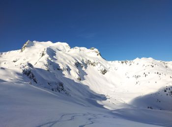
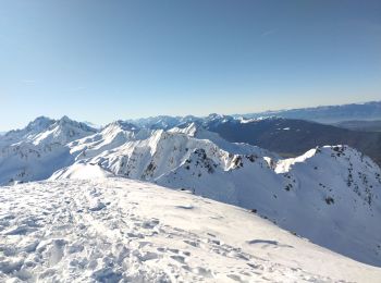
Skiwanderen
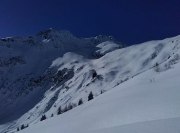
Skiwanderen
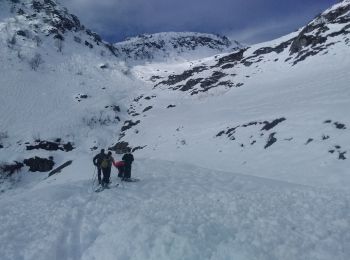
Skiwanderen
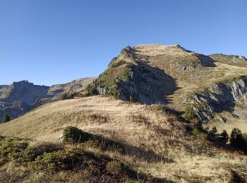
Wandern
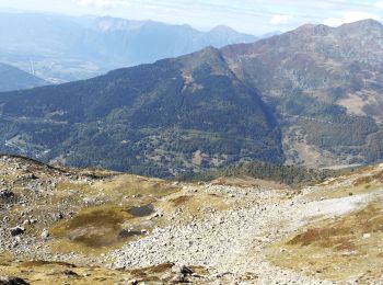
Wandern
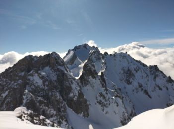
Skiwanderen
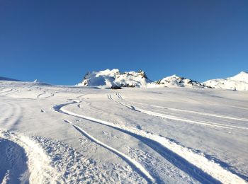
Skiwanderen
Skiwanderen
Skiwanderen
Skiwanderen
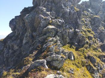
Wandern

Skiwanderen
Skiwanderen
Skiwanderen
Wandern
Wandern
Wandern
20 Angezeigte Touren bei 189
Kostenlosegpshiking-Anwendung
 SityTrail
IGN / Geografische Institute
SityTrail World
Die Welt öffnet sich für Sie