


13,8 km | 27 km-effort
Bellecombe-en-Bauges : Entdecken Sie die besten Touren : 87 zu Fuß und 5 auf dem Pferderücken. Alle diese Touren, Trails, Routen und Outdoor-Aktivitäten sind in unseren SityTrail-Apps für Smartphones und Tablets verfügbar.
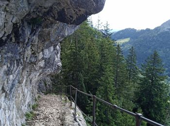
Wandern


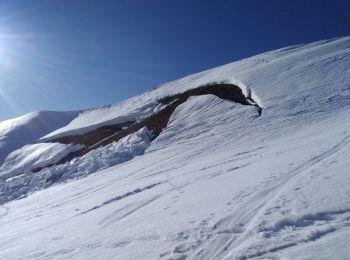
Skiwanderen
Wandern

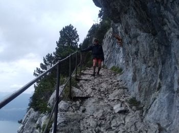
Wandern

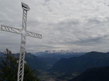
Wandern
Wandern
Wandern
Wandern

Wandern
Wandern
Wandern
Wandern
Wandern
Wandern
• 29 janvier 2018 Rando facile effectuée par très beau temps. Peu de neige a permis de ne pas utiliser les raquettes.

Wandern
• sentier du Char
Wandern
Wandern
Schneeschuhwandern
Schneeschuhwandern

Wandern
20 Angezeigte Touren bei 104
Kostenlosegpshiking-Anwendung
 SityTrail
IGN / Geografische Institute
SityTrail World
Die Welt öffnet sich für Sie