


18,5 km | 26 km-effort
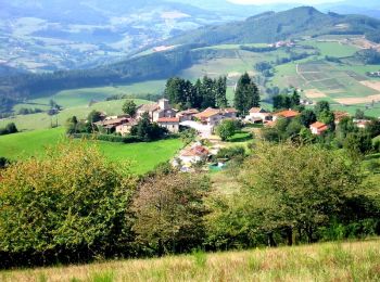
Chambost-Allières : Entdecken Sie die besten Touren : 14 zu Fuß, 5 mit dem Fahrrad oder Mountainbike und 1 auf dem Pferderücken. Alle diese Touren, Trails, Routen und Outdoor-Aktivitäten sind in unseren SityTrail-Apps für Smartphones und Tablets verfügbar.
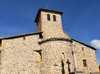
Wandern


Wandern
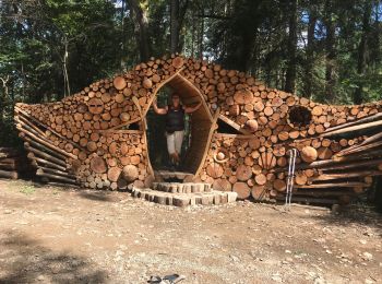
Mountainbike
Mountainbike
Mountainbike

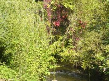
Wandern
Wandern
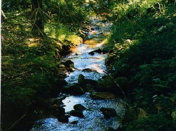
Wandern
Wandern
Wandern
Wandern
Wandern
• D/A : Col du Joncin 18,1 km - D. 748 m
Wandern

Pferd
Wandern
Wandern

Fahrrad
Mountainbike
Wandern
Wandern
20 Angezeigte Touren bei 20
Kostenlosegpshiking-Anwendung
 SityTrail
IGN / Geografische Institute
SityTrail World
Die Welt öffnet sich für Sie