


11,1 km | 14,2 km-effort
Aydat : Entdecken Sie die besten Touren : 176 zu Fuß, 37 mit dem Fahrrad oder Mountainbike und 17 auf dem Pferderücken. Alle diese Touren, Trails, Routen und Outdoor-Aktivitäten sind in unseren SityTrail-Apps für Smartphones und Tablets verfügbar.
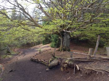
Wandern


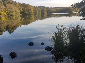
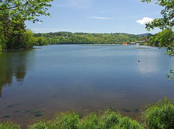
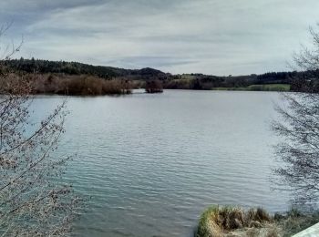
• Tour du lac passant par Veyreras
Wandern

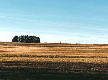
Wandern
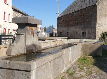
Wandern

Wandern

Zu Fuß
• Trail created by CD63.

Zu Fuß
• Trail created by CD63.
Zu Fuß
• Trail created by CD63.

Wandern
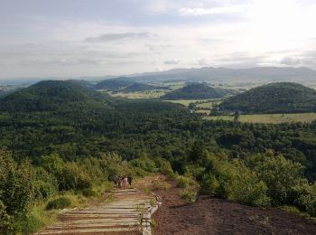
• Puy de la Vache et Puy de Lassolas
Wandern
Wandern

Zu Fuß
• Trail created by CD63.
Zu Fuß
• Trail created by CD63.
Wandern
Wandern
Wandern
Wandern
Wandern
Wandern

Wandern
20 Angezeigte Touren bei 245
Kostenlosegpshiking-Anwendung
 SityTrail
IGN / Geografische Institute
SityTrail World
Die Welt öffnet sich für Sie