


17,5 km | 31 km-effort
La Motte-Saint-Martin : Entdecken Sie die besten Touren : 38 zu Fuß und 2 mit dem Fahrrad oder Mountainbike. Alle diese Touren, Trails, Routen und Outdoor-Aktivitäten sind in unseren SityTrail-Apps für Smartphones und Tablets verfügbar.
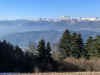
Wandern


Wandern

Wandern
Wandern

Wandern
Wandern
Wandern
Wandern
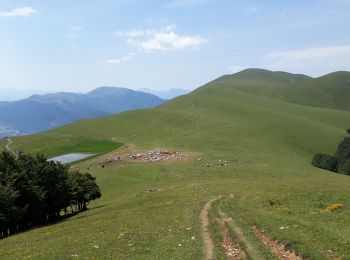
Wandern

Wandern
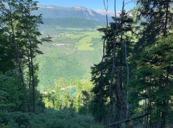
Wandern

Wandern
Wandern
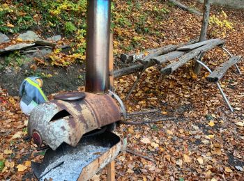
• départ le majeur retour par le chalet de l"as
Wandern
Wandern
Wandern
Wandern
Wandern
Wandern

Mountainbike
20 Angezeigte Touren bei 46
Kostenlosegpshiking-Anwendung
 SityTrail
IGN / Geografische Institute
SityTrail World
Die Welt öffnet sich für Sie