


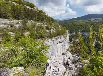
11,9 km | 24 km-effort
Rencurel : Entdecken Sie die besten Touren : 70 zu Fuß, 10 mit dem Fahrrad oder Mountainbike und 1 auf dem Pferderücken. Alle diese Touren, Trails, Routen und Outdoor-Aktivitäten sind in unseren SityTrail-Apps für Smartphones und Tablets verfügbar.
Wandern


Zu Fuß
Wandern
Wandern
Wandern
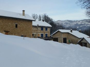
Schneeschuhwandern
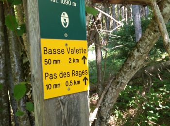
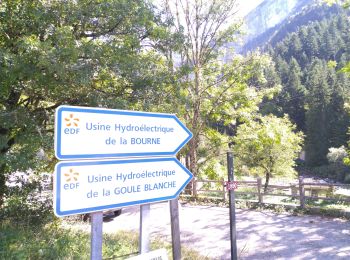
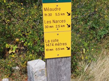
• Départ des Ailes > Ref. du Serre du Sâtre > La Goulandière > Le Belvédère et retour par le GR de pays. Traces dans la...
Wandern
Wandern

Wandern
Wandern

Wandern
Wandern
Wandern

Wandern
Wandern
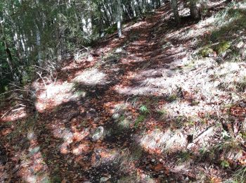
• Le dénivelé cumulé positif calculé automatiquement est faux.Il est plutôt de 700 m. Boucle forestière sans problèmes,...
Wandern
• azur 08.06.17

Schneeschuhwandern

Mountainbike
Wandern
Wandern
20 Angezeigte Touren bei 92
Kostenlosegpshiking-Anwendung
 SityTrail
IGN / Geografische Institute
SityTrail World
Die Welt öffnet sich für Sie