


68 km | 78 km-effort
Lumbin : Entdecken Sie die besten Touren : 5 zu Fuß und 11 mit dem Fahrrad oder Mountainbike. Alle diese Touren, Trails, Routen und Outdoor-Aktivitäten sind in unseren SityTrail-Apps für Smartphones und Tablets verfügbar.

Elektrofahrrad


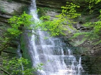
Wandern

Mountainbike
Mountainbike
Elektrofahrrad

Elektrofahrrad
Elektrofahrrad
Mountainbike
• montées un peu conséquentes et quelques singles un peu techniques
Elektrofahrrad

Wandern
Elektrofahrrad
Elektrofahrrad

Wandern
Mountainbike

 44.964
sport
Wandern

Andere Aktivitäten
Wandern
Klettersteig
19 Angezeigte Touren bei 19
Kostenlosegpshiking-Anwendung
 SityTrail
IGN / Geografische Institute
SityTrail World
Die Welt öffnet sich für Sie