


7,7 km | 11,1 km-effort
Planfoy : Entdecken Sie die besten Touren : 17 zu Fuß und 2 mit dem Fahrrad oder Mountainbike. Alle diese Touren, Trails, Routen und Outdoor-Aktivitäten sind in unseren SityTrail-Apps für Smartphones und Tablets verfügbar.
Wandern


Wandern
Wandern
Wandern
•
Klettersteig
Wandern

Mountainbike
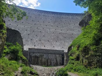
• Tour des barrages
Wandern
• facile
Wandern
• facile

Motor
Motor
• 50km dans le parc du pilat
Motor
• 50km dans le parc du pilat
Wandern
•

 9.586
9.586
sport
Wandern
Mountainbike
Wandern
Wandern

Langlaufen
Wandern
20 Angezeigte Touren bei 26
Kostenlosegpshiking-Anwendung
 SityTrail
IGN / Geografische Institute
SityTrail World
Die Welt öffnet sich für Sie