


204 km | 278 km-effort
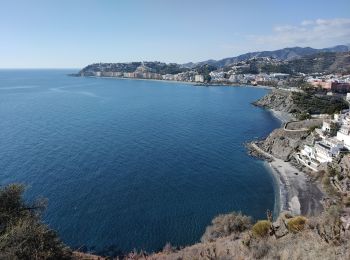
Almuñécar : Entdecken Sie die besten Touren : 22 zu Fuß und 3 mit dem Fahrrad oder Mountainbike. Alle diese Touren, Trails, Routen und Outdoor-Aktivitäten sind in unseren SityTrail-Apps für Smartphones und Tablets verfügbar.
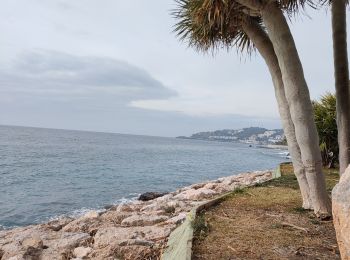
Moto-Cross


Moto-Cross

Moto-Cross

Moto-Cross

Moto-Cross
Moto-Cross
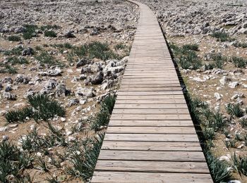
Wandern
Moto-Cross
Moto-Cross
Moto-Cross
Moto-Cross
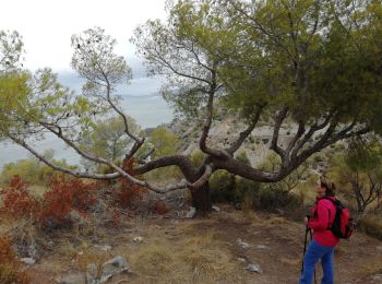
Wandern
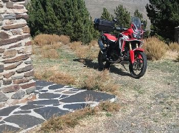
Motor
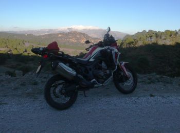
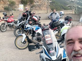
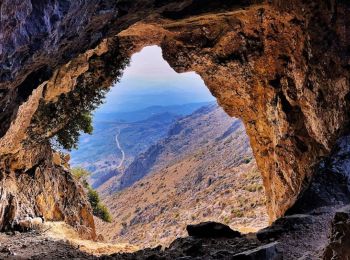
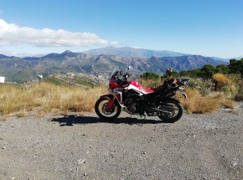
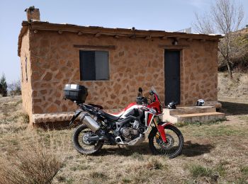
• le 28 10 2016 Centre de retraite Boudhiste O Celin et refuge de Puntal en Honda Africa Twin
Wandern

Wandern

Moto-Cross
Wandern
Moto-Cross

Wandern
Wandern
20 Angezeigte Touren bei 87
Kostenlosegpshiking-Anwendung
 SityTrail
IGN / Geografische Institute
SityTrail World
Die Welt öffnet sich für Sie