


6,6 km | 10,5 km-effort
Valencia : Entdecken Sie die besten Touren : 30 zu Fuß und 1 mit dem Fahrrad oder Mountainbike. Alle diese Touren, Trails, Routen und Outdoor-Aktivitäten sind in unseren SityTrail-Apps für Smartphones und Tablets verfügbar.
Zu Fuß


• Website: https://www.femecv.com/senderos/sl-cv-79

Zu Fuß
• Trail created by Entornos Naturales. Symbol: Green Posts

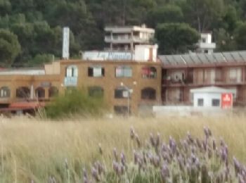
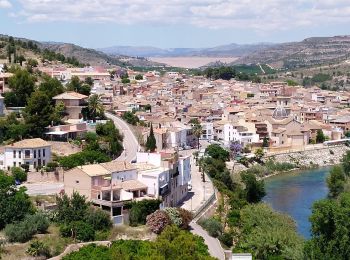
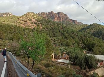
Wandern

Zu Fuß

Zu Fuß
Zu Fuß
Zu Fuß
• Symbol: white strip on top of yellow strip
Wandern
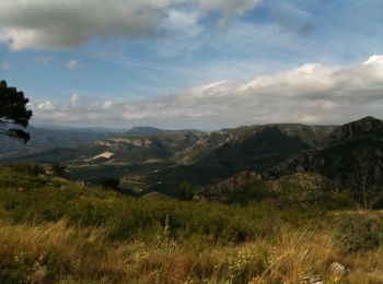
• joli paysage sauvage -aller retour
Wandern
• facile
Zu Fuß

Zu Fuß
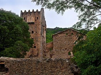
• Trail created by CEAGA. Symbol: three dots
Wandern

Wandern
Wandern
Wandern
Wandern
Wandern
Wandern

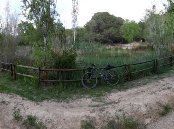
Mountainbike
Wandern
20 Angezeigte Touren bei 34
Kostenlosegpshiking-Anwendung
 SityTrail
IGN / Geografische Institute
SityTrail World
Die Welt öffnet sich für Sie