![](/images/other/stat-length.png)
- Touren
- Outdoor
- Germany
- Hessen
- Landkreis Darmstadt-Dieburg
- Fischbachtal
Fischbachtal, Landkreis Darmstadt-Dieburg: Die besten Touren, Trails, Trecks und Wanderungen
Fischbachtal : Entdecken Sie die besten Touren : 10 zu Fuß. Alle diese Touren, Trails, Routen und Outdoor-Aktivitäten sind in unseren SityTrail-Apps für Smartphones und Tablets verfügbar.
Die besten Spuren (10)
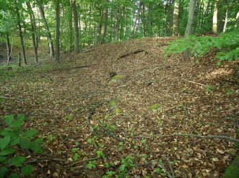
![Tour Zu Fuß Fischbachtal - Rundwanderweg Pfad der Geschichten - Photo](https://media.geolcdn.com/t/350/260/f6c1e8c1-4e3f-407d-bbed-40159522dd1f.jpeg&format=jpg&maxdim=2)
![Zu Fuß Zu Fuß](https://static1.geolcdn.com/sitytour/trail-icons/100.png)
Km
Zu Fuß
![](/images/other/stat-length.png)
![](https://static1.geolcdn.com/siteimages/upload/files/1508320355ic_sort_den_pos_24dp.png)
![](https://static1.geolcdn.com/siteimages/upload/files/1508320355ic_sort_den_neg_24dp.png)
![](https://static1.geolcdn.com/siteimages/upload/files/16400158638029165_repeat_loop_refresh_sync_direction_icon.png)
• Trail created by Geo-Naturpark Bergstraße-Odenwald. Symbol: ganz in weiß: ein oben offener Kreis, in dessen Mitte ei...
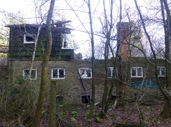
![Tour Zu Fuß Fischbachtal - Rundwanderweg Fischbachtal Gagernstein 3: Daumensteinrundweg - Photo](https://media.geolcdn.com/t/350/260/da816d37-44a7-420a-ad00-1eb7ad6875df.jpeg&format=jpg&maxdim=2)
![Zu Fuß Zu Fuß](https://static1.geolcdn.com/sitytour/trail-icons/100.png)
Km
Zu Fuß
![](/images/other/stat-length.png)
![](https://static1.geolcdn.com/siteimages/upload/files/1508320355ic_sort_den_pos_24dp.png)
![](https://static1.geolcdn.com/siteimages/upload/files/1508320355ic_sort_den_neg_24dp.png)
![](https://static1.geolcdn.com/siteimages/upload/files/16400158638029165_repeat_loop_refresh_sync_direction_icon.png)
• Trail created by Geo-Naturpark Bergstraße-Odenwald. Symbol: Gelbe 3 im gelben Kreis
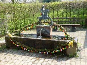
![Tour Zu Fuß Fischbachtal - Rundwanderweg Fischbachtal Ruhehain 2: Spitzestein-Weg - Photo](https://media.geolcdn.com/t/350/260/f19b2e74-8828-4a57-a9c2-ed039698c218.jpeg&format=jpg&maxdim=2)
![Zu Fuß Zu Fuß](https://static1.geolcdn.com/sitytour/trail-icons/100.png)
Km
Zu Fuß
![](/images/other/stat-length.png)
![](https://static1.geolcdn.com/siteimages/upload/files/1508320355ic_sort_den_pos_24dp.png)
![](https://static1.geolcdn.com/siteimages/upload/files/1508320355ic_sort_den_neg_24dp.png)
![](https://static1.geolcdn.com/siteimages/upload/files/16400158638029165_repeat_loop_refresh_sync_direction_icon.png)
• Trail created by Naturpark Bergstraße-Odenwald. Symbol: gelbe 2 im Kreis
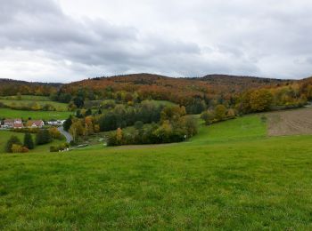
![Tour Zu Fuß Fischbachtal - Verbindungsweg](https://media.geolcdn.com/t/350/260/79959b94-5f77-4a40-a74d-5aaa308a5c48.jpeg&format=jpg&maxdim=2)
![Zu Fuß Zu Fuß](https://static1.geolcdn.com/sitytour/trail-icons/100.png)
Km
Zu Fuß
![](/images/other/stat-length.png)
![](https://static1.geolcdn.com/siteimages/upload/files/1508320355ic_sort_den_pos_24dp.png)
![](https://static1.geolcdn.com/siteimages/upload/files/1508320355ic_sort_den_neg_24dp.png)
![](https://static1.geolcdn.com/siteimages/upload/files/16400158638029165_repeat_loop_refresh_sync_direction_icon.png)
• Trail created by Geo-Naturpark Bergstraße-Odenwald.
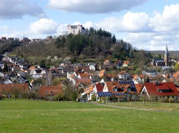
![Tour Zu Fuß Fischbachtal - Rundwanderweg Fischbachtal Ruhehain 3: Billings-Weg - Photo](https://media.geolcdn.com/t/350/260/52c72362-3af5-4635-bd70-409cc9613598.jpeg&format=jpg&maxdim=2)
![Zu Fuß Zu Fuß](https://static1.geolcdn.com/sitytour/trail-icons/100.png)
Km
Zu Fuß
![](/images/other/stat-length.png)
![](https://static1.geolcdn.com/siteimages/upload/files/1508320355ic_sort_den_pos_24dp.png)
![](https://static1.geolcdn.com/siteimages/upload/files/1508320355ic_sort_den_neg_24dp.png)
![](https://static1.geolcdn.com/siteimages/upload/files/16400158638029165_repeat_loop_refresh_sync_direction_icon.png)
• Trail created by Geo-Naturpark Bergstraße-Odenwald.
![Tour Zu Fuß Fischbachtal - Rundwanderweg Fischbachtal 3 : Nonrod Weg - Photo](https://media.geolcdn.com/t/350/260/f19b2e74-8828-4a57-a9c2-ed039698c218.jpeg&format=jpg&maxdim=2)
![Zu Fuß Zu Fuß](https://static1.geolcdn.com/sitytour/trail-icons/100.png)
Km
Zu Fuß
![](/images/other/stat-length.png)
![](https://static1.geolcdn.com/siteimages/upload/files/1508320355ic_sort_den_pos_24dp.png)
![](https://static1.geolcdn.com/siteimages/upload/files/1508320355ic_sort_den_neg_24dp.png)
![](https://static1.geolcdn.com/siteimages/upload/files/16400158638029165_repeat_loop_refresh_sync_direction_icon.png)
• Trail created by Geo-Naturpark Bergstraße-Odenwald. Symbol: white 3 in a white circle with F in a break at the top o...
![Tour Zu Fuß Fischbachtal - Rundwanderweg Fischbachtal Riedbusch 3: Kernbach-Weg - Photo](https://media.geolcdn.com/t/350/260/f6c1e8c1-4e3f-407d-bbed-40159522dd1f.jpeg&format=jpg&maxdim=2)
![Zu Fuß Zu Fuß](https://static1.geolcdn.com/sitytour/trail-icons/100.png)
Km
Zu Fuß
![](/images/other/stat-length.png)
![](https://static1.geolcdn.com/siteimages/upload/files/1508320355ic_sort_den_pos_24dp.png)
![](https://static1.geolcdn.com/siteimages/upload/files/1508320355ic_sort_den_neg_24dp.png)
![](https://static1.geolcdn.com/siteimages/upload/files/16400158638029165_repeat_loop_refresh_sync_direction_icon.png)
• Trail created by Geo-Naturpark Bergstraße-Odenwald. Symbol: yellow 3 in a yellow circle
![Tour Zu Fuß Fischbachtal - Rundwanderweg Fischbachtal 2 : Geographisch-Historischer-Lehrpfad - Photo](https://media.geolcdn.com/t/350/260/f6c1e8c1-4e3f-407d-bbed-40159522dd1f.jpeg&format=jpg&maxdim=2)
![Zu Fuß Zu Fuß](https://static1.geolcdn.com/sitytour/trail-icons/100.png)
Km
Zu Fuß
![](/images/other/stat-length.png)
![](https://static1.geolcdn.com/siteimages/upload/files/1508320355ic_sort_den_pos_24dp.png)
![](https://static1.geolcdn.com/siteimages/upload/files/1508320355ic_sort_den_neg_24dp.png)
![](https://static1.geolcdn.com/siteimages/upload/files/16400158638029165_repeat_loop_refresh_sync_direction_icon.png)
• Trail created by Geo-Naturpark Bergstraße-Odenwald. Symbol: white 2 in a white circle with F in a break at the top o...
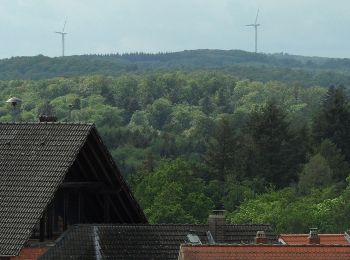
![Tour Zu Fuß Fischbachtal - Rundwanderweg Fischbachtal 1 : Panoramaweg - Photo](https://media.geolcdn.com/t/350/260/83c68ea9-aa6a-4614-b644-36f1a04794da.jpeg&format=jpg&maxdim=2)
![Zu Fuß Zu Fuß](https://static1.geolcdn.com/sitytour/trail-icons/100.png)
Km
Zu Fuß
![](/images/other/stat-length.png)
![](https://static1.geolcdn.com/siteimages/upload/files/1508320355ic_sort_den_pos_24dp.png)
![](https://static1.geolcdn.com/siteimages/upload/files/1508320355ic_sort_den_neg_24dp.png)
![](https://static1.geolcdn.com/siteimages/upload/files/16400158638029165_repeat_loop_refresh_sync_direction_icon.png)
• Trail created by Geo-Naturpark Bergstraße-Odenwald. Symbol: white 1 in a white circle with F in a break at the top o...
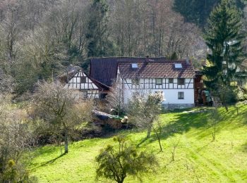
![Tour Zu Fuß Fischbachtal - Rundwanderweg Fischbachtal Nonroder Höhe 5 : Heilsruhe-Weg - Photo](https://media.geolcdn.com/t/350/260/eb7659e7-84e5-4942-b650-6b552438e747.jpeg&format=jpg&maxdim=2)
![Zu Fuß Zu Fuß](https://static1.geolcdn.com/sitytour/trail-icons/100.png)
Km
Zu Fuß
![](/images/other/stat-length.png)
![](https://static1.geolcdn.com/siteimages/upload/files/1508320355ic_sort_den_pos_24dp.png)
![](https://static1.geolcdn.com/siteimages/upload/files/1508320355ic_sort_den_neg_24dp.png)
![](https://static1.geolcdn.com/siteimages/upload/files/16400158638029165_repeat_loop_refresh_sync_direction_icon.png)
• Trail created by Geo-Naturpark Bergstraße-Odenwald.
10 Angezeigte Touren bei 10
Kostenlosegpshiking-Anwendung