


8 km | 10,1 km-effort
Fuldatal : Entdecken Sie die besten Touren : 9 zu Fuß. Alle diese Touren, Trails, Routen und Outdoor-Aktivitäten sind in unseren SityTrail-Apps für Smartphones und Tablets verfügbar.
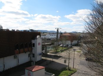
Zu Fuß


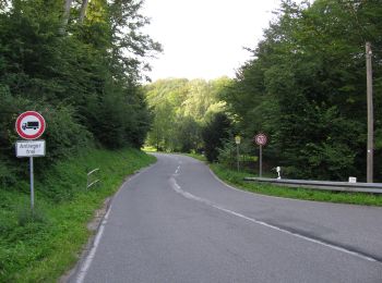
• Die Eco Pfade im Landkreis Kassel sollen dazu anregen, sich mit der Geschichte der Region zu beschäftigen, Zeugen der...
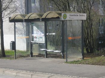
Zu Fuß
• Die Eco Pfade im Landkreis Kassel sollen dazu anregen, sich mit der Geschichte der Region zu beschäftigen, Zeugen der...
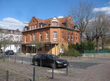
Zu Fuß
• Trail created by Hessisch-Waldeckischer Gebirgs- und Heimatverein(HWGHV).
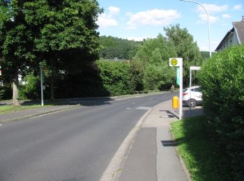
Zu Fuß
• Trail created by Hessisch-Waldeckischer Gebirgs- und Heimatverein (HWGHV). Website: https://www.immenhausen.de/ind...
Zu Fuß
• Trail created by Hessisch-Waldeckischer Gebirgs- und Heimatverein. Symbol: gelbe 5 in gelbem Kreis
Zu Fuß
• Trail created by Hessisch-Waldeckischer Gebirgs- und Heimatverein. Symbol: gelbe 4 in gelbem Kreis
Zu Fuß
• Trail created by Rhönclub Kassel. Symbol: Gelbes 'k' auf schwarzem Grund mit einem auf den vertikalen Balken gesetzt...
Zu Fuß

Zu Fuß
9 Angezeigte Touren bei 9
Kostenlosegpshiking-Anwendung
 SityTrail
IGN / Geografische Institute
SityTrail World
Die Welt öffnet sich für Sie