


21 km | 27 km-effort
Naumburg : Entdecken Sie die besten Touren : 24 zu Fuß. Alle diese Touren, Trails, Routen und Outdoor-Aktivitäten sind in unseren SityTrail-Apps für Smartphones und Tablets verfügbar.
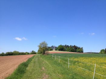
Zu Fuß


• Trail created by Hessisch-Waldeckischer Gebirgs- und Heimatverein(HWGHV). Symbol: Weißer Buchstabe X, manchmal auf s...
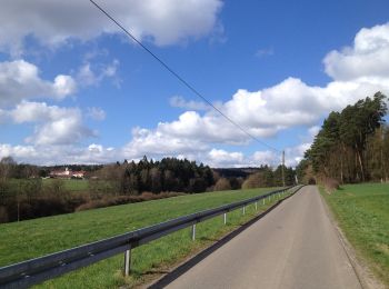
Zu Fuß
• Trail created by Stadt Naumburg.
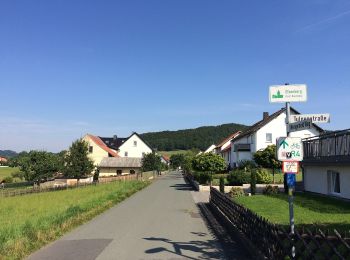
Zu Fuß
• Trail created by Stadt Naumburg.
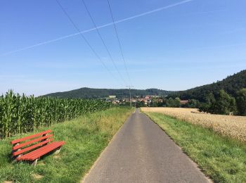
Zu Fuß
• Trail created by Stadt Naumburg.
Zu Fuß
• Trail created by Stadt Naumburg.
Zu Fuß
• Trail created by Stadt Naumburg.
Zu Fuß
• Trail created by Stadt Naumburg.
Zu Fuß
Zu Fuß
Zu Fuß
Zu Fuß

Zu Fuß
Zu Fuß
Zu Fuß
Zu Fuß
Zu Fuß
Zu Fuß

Zu Fuß
• Trail created by Stadt Naumburg.
Zu Fuß
• Trail created by Stadt Naumburg.
Zu Fuß
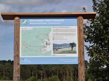
• Die Eco Pfade im Landkreis Kassel sollen dazu anregen, sich mit der Geschichte der Region zu beschäftigen, Zeugen der...
20 Angezeigte Touren bei 24
Kostenlosegpshiking-Anwendung
 SityTrail
IGN / Geografische Institute
SityTrail World
Die Welt öffnet sich für Sie