


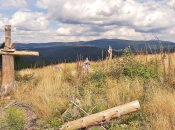
6,8 km | 8,8 km-effort
Niedernhausen : Entdecken Sie die besten Touren : 12 zu Fuß. Alle diese Touren, Trails, Routen und Outdoor-Aktivitäten sind in unseren SityTrail-Apps für Smartphones und Tablets verfügbar.
Zu Fuß


• Symbol: https://upload.wikimedia.org/wikipedia/commons/9/90/ApfelweinWiesen.jpg
Zu Fuß
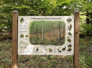
• Trail created by Naturpark Rhein-Taunus.
Zu Fuß
• Trail created by DE Oberjosbach. Symbol: https://upload.wikimedia.org/wikipedia/commons/3/34/Wegsymbol-Strandweg.jpg
Zu Fuß
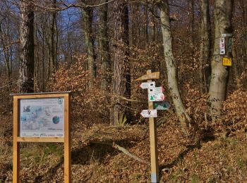
• Trail created by DE Oberjosbach. Symbol: schwarzer Krug auf weißem Grund
Zu Fuß
• Trail created by Naturpark Rhein-Taunus. Symbol: Braunes Eichhörnchen auf weißem Grund
Zu Fuß
• Trail created by Naturpark Rhein-Taunus. Symbol: Roter Rehkopf auf weißem Grund
Zu Fuß
• Trail created by Naturpark Rhein-Taunus. Symbol: Grüne Tanne auf weißem Grund
Zu Fuß
• Trail created by Gemeinde Niedernhausen.
Zu Fuß
• Trail created by Naturpark Rhein-Taunus. Symbol: Gründes Lindenblatt auf weißem Grund
Zu Fuß
• Trail created by Naturpark Rhein-Taunus. Symbol: Schwarzer Eber auf weißem Grund

Zu Fuß
• Trail created by DE Oberjosbach. Symbol: https://upload.wikimedia.org/wikipedia/commons/7/7a/Amulett-Symbol.jpg
Zu Fuß
• Trail created by Naturpark Rhein-Taunus. Symbol: Schwarzes Geweih auf weißem Grund
12 Angezeigte Touren bei 12
Kostenlosegpshiking-Anwendung
 SityTrail
IGN / Geografische Institute
SityTrail World
Die Welt öffnet sich für Sie