


8,3 km | 10,7 km-effort
Unbekannt : Entdecken Sie die besten Touren : 17 zu Fuß und 2 mit dem Fahrrad oder Mountainbike. Alle diese Touren, Trails, Routen und Outdoor-Aktivitäten sind in unseren SityTrail-Apps für Smartphones und Tablets verfügbar.
Zu Fuß


• Symbol: Grüne II auf weißem Grund
Zu Fuß
• Weg teilweise aufgelassen? Symbol: Grüner Text T3 auf weißem Grund
Zu Fuß
• Symbol: Grüner Text T2 auf weißem Grund
Zu Fuß
• Symbol: Grüner Text T1 auf weißem Grund

Zu Fuß
• höchster Pkt 320m Symbol: Grüne I auf weißem Grund
Zu Fuß
• Symbol: rotes W3auf brauner Holztafel
Zu Fuß
• Symbol: W2
Zu Fuß
• Trail created by Naturpark Saar-Hunsrück. Relation 2014 für Ko1 wiederverwendet
Zu Fuß
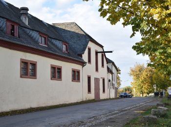
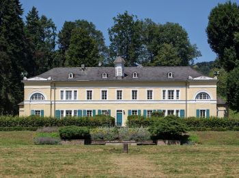
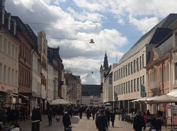
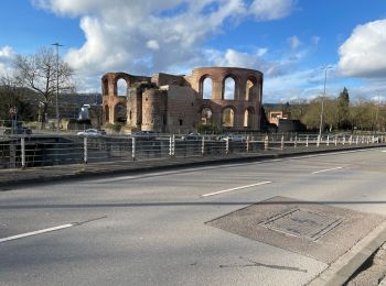
• Herzlich willkommen in Trier, der ältesten Stadt Deutschlands. Hier erhalten Sie Informationen rund um Sehenswürdigke...
Zu Fuß
• Symbol: Grüner Text T9 auf weißem Grund
Wandern
Zu Fuß
Wandern

Zu Fuß
• Symbol: Grüner Text T5 auf weißem Grund
Zu Fuß

Fahrrad
• More information on GPStracks.nl : http://www.gpstracks.nl

 26.712
sport

Wandern
Fahrrad
Wandern
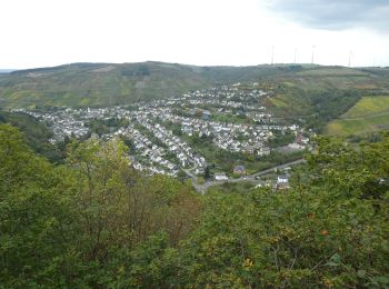
• Trier - Konz
20 Angezeigte Touren bei 20
Kostenlosegpshiking-Anwendung
 SityTrail
IGN / Geografische Institute
SityTrail World
Die Welt öffnet sich für Sie