


3 km | 4,2 km-effort
Saarbrücken : Entdecken Sie die besten Touren : 10 zu Fuß und 1 auf dem Pferderücken. Alle diese Touren, Trails, Routen und Outdoor-Aktivitäten sind in unseren SityTrail-Apps für Smartphones und Tablets verfügbar.
Zu Fuß


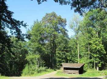
• Der vom Saarländischen Rundfunk konzipierte Rundweg "Historischer Halberg" beginnt auf dem Parkplatz, linkerhand der ...
Zu Fuß
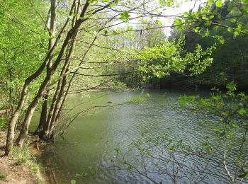
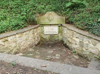
• Trail created by Ensheimer Brunnenfreunde.

Zu Fuß
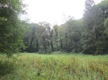
• Urwald vor den Toren der Stadt Website: https://saar-urwald.de/den-urwald-erleben/wandern-im-urwald/urwaldtour-abent...
Zu Fuß
• Urwald vor den Toren der Stadt Website: http://www.saar-urwald.de/den-urwald-erleben/wandern-im-urwald/wilder-netzba...
Zu Fuß
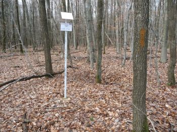
• Symbol: fliegender Milan
Zu Fuß
• Trail created by Ortsgruppe Bischmisheim. Symbol: gelbes ausgefülltes Dreieck auf Boden von weißem quadratischen Grund
Zu Fuß
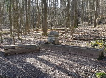
• Trail created by Ensheimer Brunnenfreunde.
Zu Fuß
• Symbol: weißer Punkt mit rotem "S" auf blauem quadratischen Grund
Wandern
Wandern

Pferd
• 10/06/17

Andere Aktivitäten
Andere Aktivitäten
13 Angezeigte Touren bei 13
Kostenlosegpshiking-Anwendung
 SityTrail
IGN / Geografische Institute
SityTrail World
Die Welt öffnet sich für Sie