


3,7 km | 4,4 km-effort
Detmold : Entdecken Sie die besten Touren : 17 zu Fuß. Alle diese Touren, Trails, Routen und Outdoor-Aktivitäten sind in unseren SityTrail-Apps für Smartphones und Tablets verfügbar.
Zu Fuß


• Trail created by Teutoburger Wald-Verein.
![Tour Zu Fuß Detmold - Rundwanderweg A5 [Berlebeck] - Photo](https://media.geolcdn.com/t/350/260/09e96dc8-2a72-420e-af43-8a0b6d458613.jpeg&format=jpg&maxdim=2)
Zu Fuß
• Trail created by Lippischer Heimatverein.
Zu Fuß
• Trail created by Lippischer Heimatverein.
Zu Fuß
• Trail created by Lippischer Heimatverein.
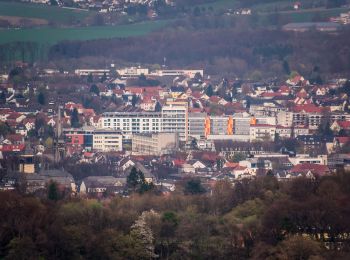
![Tour Zu Fuß Detmold - Rundwanderweg [Gauseköte] - Photo](https://media.geolcdn.com/t/350/260/b23ec4a7-b5cb-44c3-a014-f0b25ad95715.jpeg&format=jpg&maxdim=2)
Zu Fuß
• Symbol: A2 white on black background
![Tour Zu Fuß Detmold - DSV nordic aktiv - schwarze Route [Bad Meinberg] (Nordic Walking) - Photo](https://media.geolcdn.com/t/350/260/aaf5bfea-b5f0-4eb2-baf2-316d21f2e560.jpeg&format=jpg&maxdim=2)
Zu Fuß
• Trail created by DSV. Symbol: weißer Pfeil auf schwarzem Grund + Text "DSV nordic aktiv"
Zu Fuß
• Trail created by Teutoburger-Wald-Verein. Symbol: weiße Raute mit Ziffer 2 auf schwarzem Grund
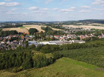
![Tour Zu Fuß Detmold - Alter Postweg [Schlangen-Kreuzkrug bis Detmold] - Photo](https://media.geolcdn.com/t/350/260/9624b63f-e63d-4566-afac-fe6174b35d1f.jpeg&format=jpg&maxdim=2)
Zu Fuß
• Trail created by Teutoburger-Wald-Verein. Symbol: weiße Raute mit Ziffer 1 auf schwarzem Grund
Zu Fuß
• Symbol: Weißer Text A2 auf schwarzem Grund
![Tour Zu Fuß Detmold - Rundwanderweg A1 [Grotenburg] - Photo](https://media.geolcdn.com/t/350/260/4f1234d5-714f-42ad-8f0b-f8de13961882.jpeg&format=jpg&maxdim=2)
Zu Fuß
• Symbol: Weißer Text A1 auf schwarzem Grund
Zu Fuß
• Trail created by Teutoburger-Wald-Verein e.V..
Zu Fuß
• Trail created by Teutoburger-Wald-Verein e.V..
Zu Fuß
• Symbol: rotes 'K' auf weißem Grund
Zu Fuß
• Trail created by Teutoburger-Wald-Verein. Symbol: Weißes 'R', eingekreist, auf schwarzem Grund
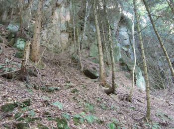
![Tour Zu Fuß Detmold - Rundwanderweg [Hangstein / Schling] - Photo](https://media.geolcdn.com/t/350/260/8f496d95-d526-4f86-9abb-749656e744f7.jpeg&format=jpg&maxdim=2)
Zu Fuß
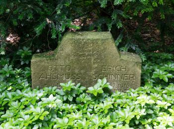
![Tour Zu Fuß Detmold - Rundwanderweg [Hangstein] - Photo](https://media.geolcdn.com/t/350/260/8ec5d4ae-3fdf-4c20-8ec5-253a5dde76eb.jpeg&format=jpg&maxdim=2)
Zu Fuß
Zu Fuß
17 Angezeigte Touren bei 17
Kostenlosegpshiking-Anwendung
 SityTrail
IGN / Geografische Institute
SityTrail World
Die Welt öffnet sich für Sie