


9,9 km | 13,7 km-effort
Kreis Paderborn : Entdecken Sie die besten Touren : 110 zu Fuß. Alle diese Touren, Trails, Routen und Outdoor-Aktivitäten sind in unseren SityTrail-Apps für Smartphones und Tablets verfügbar.
Zu Fuß


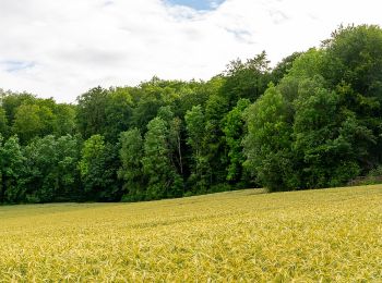
• In der Naturerbe Wanderwelt bei Altenbeken können Sie wilde Natur erleben. Unterwegs auf attraktiven Wanderwegen lass...
Zu Fuß
• In der Naturerbe Wanderwelt bei Altenbeken können Sie wilde Natur erleben. Unterwegs auf attraktiven Wanderwegen lass...
Zu Fuß
• In der Naturerbe Wanderwelt bei Altenbeken können Sie wilde Natur erleben. Unterwegs auf attraktiven Wanderwegen lass...
Zu Fuß
• In der Naturerbe Wanderwelt bei Altenbeken können Sie wilde Natur erleben. Unterwegs auf attraktiven Wanderwegen lass...
Zu Fuß
• Trail created by Sauerländer Gebirgsverein.
Zu Fuß
• Trail created by Sauerländer Gebirgsverein.
Zu Fuß
• Trail created by Sauerländer Gebirgsverein.
Zu Fuß
• Trail created by Eggegebirgsverein. Symbol: white vertical bar on black background
Zu Fuß
• Trail created by Eggegebirgsverein.
Zu Fuß
• Trail created by Eggegebirgsverein.
Zu Fuß
• In der Naturerbe Wanderwelt bei Altenbeken können Sie wilde Natur erleben. Unterwegs auf attraktiven Wanderwegen lass...
Zu Fuß
• Trail created by Sauerländer Gebirgsverein.
Zu Fuß
• Symbol: White text A1 on black background
Zu Fuß
• Trail created by Teutoburger-Wald-Verein. Symbol: black stickfigure surfing a blue wave, all on a blue sky backgroun...
Zu Fuß
• Trail created by Eggegebirgsverein. Wegverlauf gem. Markierung vor Ort eingetragen / Karten zu diesem Weg weichen im...

Zu Fuß
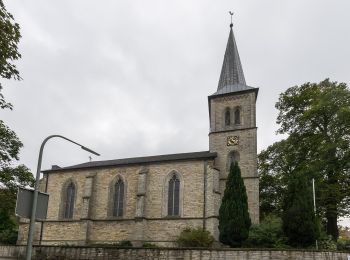
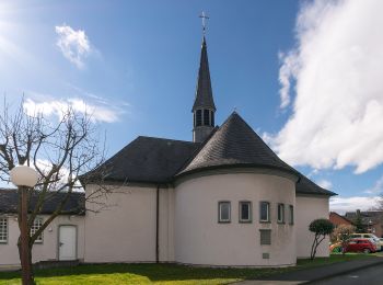
• Trail created by Eggegebirgsverein Schwaney. Symbol: grey silhouette of Schwaney church, surrounded by some green sm...
Zu Fuß
• Trail created by Gemeinde Borchen. Symbol: black and white picture of set stones
Zu Fuß
• Sonnige Runde vom Ellerbachtal auf die Paderborner Hochfläche Website: http://www.paderborner-karstrundweg.de
Zu Fuß
• Sonnige Runde vom Ellerbachtal auf die Paderborner Hochfläche Website: http://www.paderborner-karstrundweg.de
Zu Fuß
• Symbol: white text A5 on black background
20 Angezeigte Touren bei 110
Kostenlosegpshiking-Anwendung
 SityTrail
IGN / Geografische Institute
SityTrail World
Die Welt öffnet sich für Sie