


7,6 km | 8,4 km-effort
Kreis Wesel : Entdecken Sie die besten Touren : 83 zu Fuß. Alle diese Touren, Trails, Routen und Outdoor-Aktivitäten sind in unseren SityTrail-Apps für Smartphones und Tablets verfügbar.
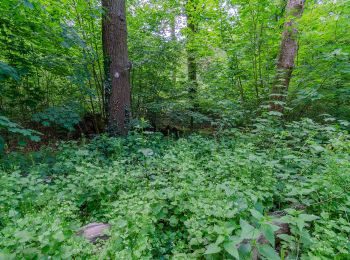
Zu Fuß


• Trail created by Verein Niederrhein. Symbol: A1
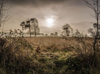
Zu Fuß
• Symbol: weißes A6 auf schwarzem Grund
Zu Fuß
• Trail created by Sauerländischer Gebirgsverein. Symbol: Weißes A2 auf schwarzem Grund
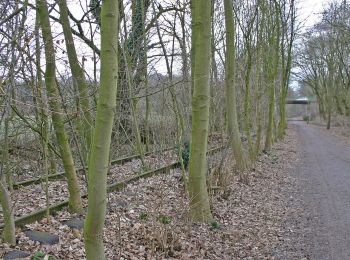
Zu Fuß
• Trail created by Sauerländischer Gebirgsverein. Symbol: Weißes A1 auf schwarzem Grund
Zu Fuß
• Trail created by Sauerländischer Gebirgsverein. Symbol: Weiß A3 auf schwarzem Grund
Zu Fuß
• Trail created by Sauerländischer Gebirgsverein. Symbol: Weißes A3 auf schwarzem Grund
Zu Fuß
• Trail created by Sauerländischer Gebirgsverein. Symbol: Weißes A4 auf schwarzem Grund
Zu Fuß
• Trail created by Sauerländischer Gebirgsverein. Symbol: Weißes A3 auf schwarzem Grund
Zu Fuß
• Trail created by Sauerländischer Gebirgsverein. Symbol: Weißes A2 auf schwarzem Grund
Zu Fuß
• Trail created by Sauerländischer Gebirgsverein. Symbol: Weißes A1 auf schwarzem Grund
Zu Fuß
• Trail created by Sauerländischer Gebirgsverein. Symbol: Weißer Kreis auf schwarzem Grund
Zu Fuß
• Symbol: weißes A5 auf schwarzem Grund
Zu Fuß
• Trail created by Sauerländischer Gebirgsverein. Symbol: T auf dem Kopf
Zu Fuß
• Trail created by Sauerländischer Gebirgsverein. Symbol: Weiß A4 auf schwarzem Grund
Zu Fuß
• Trail created by Sauerländischer Gebirgsverein. Symbol: Weiß A6 auf schwarzem Grund
Zu Fuß
• Trail created by Sauerländischer Gebirgsverein. Symbol: Weiß A1 auf schwarzem Grund
Zu Fuß
• Trail created by Sauerländischer Gebirgsverein. Symbol: Weiß A1 auf schwarzem Grund
Zu Fuß
• Trail created by Verein Niederrhein.
Zu Fuß
• Trail created by Verein Niederrhein.
Zu Fuß
• Trail created by Verein Niederrhein.
20 Angezeigte Touren bei 84
Kostenlosegpshiking-Anwendung
 SityTrail
IGN / Geografische Institute
SityTrail World
Die Welt öffnet sich für Sie