


14,8 km | 19,4 km-effort
Meschede : Entdecken Sie die besten Touren : 42 zu Fuß. Alle diese Touren, Trails, Routen und Outdoor-Aktivitäten sind in unseren SityTrail-Apps für Smartphones und Tablets verfügbar.
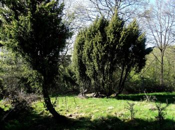
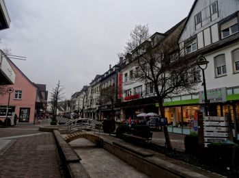
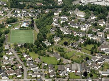
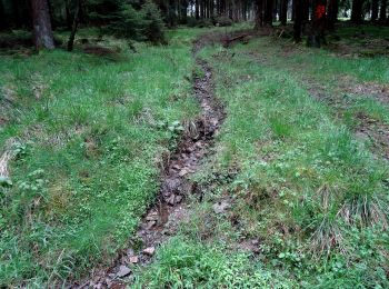
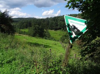
Zu Fuß


• Trail created by Sauerländischer Gebirgsverein.
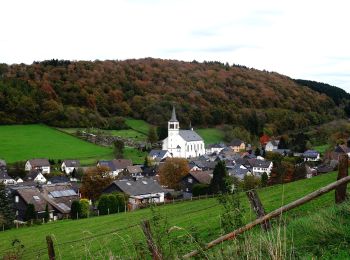
Zu Fuß
• Trail created by Sauerländischer Gebirgsverein.
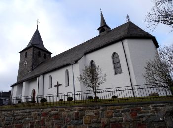
Zu Fuß
• Trail created by Sauerländischer Gebirgsverein.
Zu Fuß
• Trail created by Sauerländischer Gebirgsverein.
Zu Fuß
• Trail created by Sauerländischer Gebirgsverein.
Zu Fuß
• Trail created by Sauerländischer Gebirgsverein.
Zu Fuß
• Trail created by Sauerländischer Gebirgsverein (SGV). Symbol: weißes H auf schwarzem Grund
Zu Fuß
• Trail created by Sauerländischer Gebirgsverein.
Zu Fuß
• Trail created by Sauerländischer Gebirgsverein.
Zu Fuß
• Trail created by Sauerländischer Gebirgsverein.

Zu Fuß
• Trail created by Sauerländischer Gebirgsverein.
Zu Fuß
• Trail created by Sauerländischer Gebirgsverein (SGV). Wegzeichen ohne Kreis drum herum (auch wenn es im NRW Atlas an...
Zu Fuß
• Trail created by Sauerländischer Gebirgsverein.
Zu Fuß
• Trail created by Sauerländischer Gebirgsverein.
Zu Fuß
• Trail created by Sauerländischer Gebirgsverein.
Zu Fuß
• Trail created by Sauerländischer Gebirgsverein.
Zu Fuß
• Trail created by Sauerländischer Gebirgsverein.
Zu Fuß
• Trail created by Sauerländischer Gebirgsverein.
Zu Fuß
• Trail created by Sauerländischer Gebirgsverein.
Zu Fuß
• Trail created by Sauerländischer Gebirgsverein.
20 Angezeigte Touren bei 42
Kostenlosegpshiking-Anwendung
 SityTrail
IGN / Geografische Institute
SityTrail World
Die Welt öffnet sich für Sie