![](/images/other/stat-length.png)
- Touren
- Outdoor
- Germany
- Sachsen-Anhalt
- Saalekreis
- Querfurt
Querfurt, Saalekreis: Die besten Touren, Trails, Trecks und Wanderungen
Querfurt : Entdecken Sie die besten Touren : 4 zu Fuß. Alle diese Touren, Trails, Routen und Outdoor-Aktivitäten sind in unseren SityTrail-Apps für Smartphones und Tablets verfügbar.
Die besten Spuren (4)
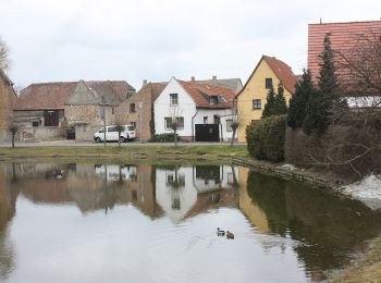
![Tour Zu Fuß Querfurt - Rundweg Märzenbechertal - Photo](https://media.geolcdn.com/t/350/260/568dc860-5903-4b91-ad3c-41e458a56123.jpeg&format=jpg&maxdim=2)
![Zu Fuß Zu Fuß](https://static1.geolcdn.com/sitytour/trail-icons/100.png)
Km
Zu Fuß
![](/images/other/stat-length.png)
![](https://static1.geolcdn.com/siteimages/upload/files/1508320355ic_sort_den_pos_24dp.png)
![](https://static1.geolcdn.com/siteimages/upload/files/1508320355ic_sort_den_neg_24dp.png)
![](https://static1.geolcdn.com/siteimages/upload/files/16400158638029165_repeat_loop_refresh_sync_direction_icon.png)
• Trail created by Naturpark Saale-Unstrut-Triasland. In Planung
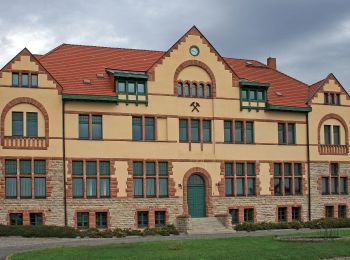
![Tour Zu Fuß Querfurt - Natur-, Kali- und Geschichtslehrpfad - Photo](https://media.geolcdn.com/t/350/260/852cbe64-e515-46bc-b0e1-f83ca9c68bd2.jpeg&format=jpg&maxdim=2)
![Zu Fuß Zu Fuß](https://static1.geolcdn.com/sitytour/trail-icons/100.png)
Km
Zu Fuß
![](/images/other/stat-length.png)
![](https://static1.geolcdn.com/siteimages/upload/files/1508320355ic_sort_den_pos_24dp.png)
![](https://static1.geolcdn.com/siteimages/upload/files/1508320355ic_sort_den_neg_24dp.png)
![](https://static1.geolcdn.com/siteimages/upload/files/16400158638029165_repeat_loop_refresh_sync_direction_icon.png)
• Symbol: grüner Schrägstrich auf weißem Grund
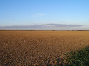
![Tour Zu Fuß Querfurt - Rundweg Hermannseck - Photo](https://media.geolcdn.com/t/350/260/b587eb12-df2a-4587-8c43-e761423f8446.jpeg&format=jpg&maxdim=2)
![Zu Fuß Zu Fuß](https://static1.geolcdn.com/sitytour/trail-icons/100.png)
Km
Zu Fuß
![](/images/other/stat-length.png)
![](https://static1.geolcdn.com/siteimages/upload/files/1508320355ic_sort_den_pos_24dp.png)
![](https://static1.geolcdn.com/siteimages/upload/files/1508320355ic_sort_den_neg_24dp.png)
![](https://static1.geolcdn.com/siteimages/upload/files/16400158638029165_repeat_loop_refresh_sync_direction_icon.png)
• Symbol: gelber Balken auf weißem Grund
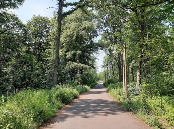
![Tour Zu Fuß Querfurt - Hermannseck-Lodersleben - Photo](https://media.geolcdn.com/t/350/260/75cdc9bd-a03c-4dae-af21-ab18a9def238.jpeg&format=jpg&maxdim=2)
![Zu Fuß Zu Fuß](https://static1.geolcdn.com/sitytour/trail-icons/100.png)
Km
Zu Fuß
![](/images/other/stat-length.png)
![](https://static1.geolcdn.com/siteimages/upload/files/1508320355ic_sort_den_pos_24dp.png)
![](https://static1.geolcdn.com/siteimages/upload/files/1508320355ic_sort_den_neg_24dp.png)
![](https://static1.geolcdn.com/siteimages/upload/files/16400158638029165_repeat_loop_refresh_sync_direction_icon.png)
4 Angezeigte Touren bei 4
Kostenlosegpshiking-Anwendung