


7 km | 8,5 km-effort
Spree-Neiße : Entdecken Sie die besten Touren : 38 zu Fuß. Alle diese Touren, Trails, Routen und Outdoor-Aktivitäten sind in unseren SityTrail-Apps für Smartphones und Tablets verfügbar.

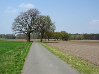
Zu Fuß


• Symbol: Grüner Punkt auf weißem Quadrat
Zu Fuß
• Symbol: Gelber Punkt auf weißem Quadrat
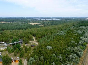
Zu Fuß
• Symbol: Grüne Balken auf weißem Quadrat

Zu Fuß
• Symbol: grüner Balken aud weißem Quadrat

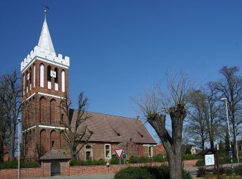
Zu Fuß
• Symbol: Gelber Punkt auf weißem Quadrat
Zu Fuß
• Symbol: horizontaler grüner Balken
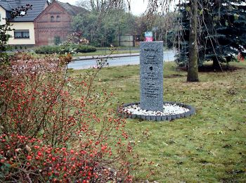
Zu Fuß
• Wanderwegzeichen zeigen an 2-3 Stellen in die falsche Richtung. Symbol: gelber Punkt auf weißem Quadrat
Zu Fuß
• Symbol: grüner Punkt auf weißem Quadrat
Zu Fuß
• Symbol: grüner Balken
Zu Fuß
• Symbol: gelbes Rechteck
Zu Fuß
• Symbol: grünes Rechteck
Zu Fuß
• Symbol: gelber Balken auf weißem Quadrat
Zu Fuß
• Symbol: gelber Punkt auf weißem Quadrat
Zu Fuß
• Symbol: grüner Punkt auf weißem Quadrat
Zu Fuß
• Symbol: grüner Balken
Zu Fuß
• Symbol: gelber Balken auf weißem Quadrat
Zu Fuß
• Symbol: grüner Punkt auf weißem Quadrat
Zu Fuß
• Symbol: horizontaler gelber Balken
Zu Fuß
• Symbol: gelber Punkt auf weißem Quadrat
Zu Fuß
• Symbol: grüner Punkt auf weißem Quadrat
20 Angezeigte Touren bei 38
Kostenlosegpshiking-Anwendung
 SityTrail
IGN / Geografische Institute
SityTrail World
Die Welt öffnet sich für Sie