


3,1 km | 3,5 km-effort
Bestensee : Entdecken Sie die besten Touren : 5 zu Fuß. Alle diese Touren, Trails, Routen und Outdoor-Aktivitäten sind in unseren SityTrail-Apps für Smartphones und Tablets verfügbar.
Zu Fuß


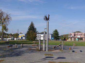
• Trail created by Gemeinde Bestensee.
Zu Fuß
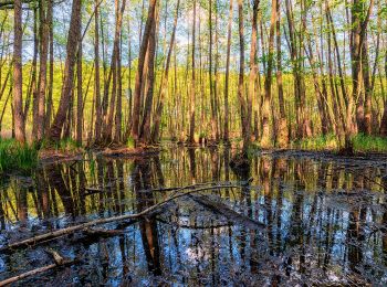
• Trail created by Stadt Mittenwalde. Symbol: Blaues Kreuz (X) auf weißem Grund
Zu Fuß
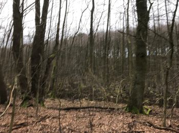
• Trail created by Gemeinde Bestensee. Symbol: Gelber Punkt auf weißem Grund
Zu Fuß
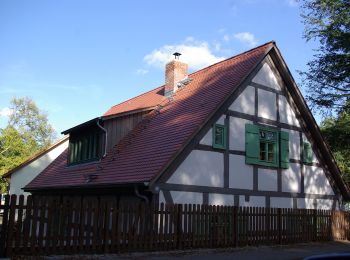
• Trail created by Gemeinde Bestensee. Symbol: blaues Kreuz auf weißem Grund
Zu Fuß
5 Angezeigte Touren bei 5
Kostenlosegpshiking-Anwendung
 SityTrail
IGN / Geografische Institute
SityTrail World
Die Welt öffnet sich für Sie